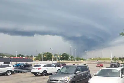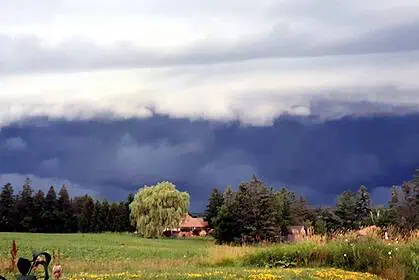

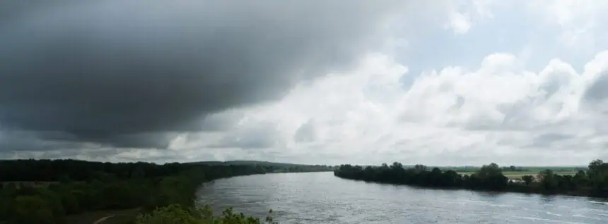

Severe weather system moving into Ontario from the United States
A low-pressure system arriving from the United States is expected to sweep through Ontario on Wednesday, June 18, bringing with it a heightened risk of severe thunderstorms, torrential downpours, strong wind gusts, and possibly even tornadoes, particularly in the southwestern part of the province.
According to Environment and Climate Change Canada, meteorologists are monitoring the atmospheric conditions that could favour the development of supercell storms — the type capable of generating tornadoes. While a severe thunderstorm watch is already in place for the Timmins area in northern Ontario, the focus on Wednesday morning will be the southwestern region of the province.
Where tornado development is most likely
The area most under threat stretches from Sarnia toward the centre of Lake Erie, and further south and west of that line. These locations are currently showing the highest potential for tornado formation, driven by a combination of:
- Elevated temperatures
- High dew points (a signal of abundant moisture in the atmosphere)
- Noticeable wind shear (variations in wind direction and speed through altitude)
This convergence of ingredients creates an ideal environment for intense storm activity, including damaging straight-line winds with gusts reaching 90 km/h (approximately 56 mph), hail up to 3 cm in diameter (1.2 inches), and localized flooding due to heavy rainfall.
Storm arrival time and expected impacts
The first storms are projected to arrive in southern Ontario sometime between 9:00 a.m. and 11:00 a.m. EDT, then move eastward throughout the rest of the day.
Although not all regions will receive the same intensity of storms, residents in southern Ontario are advised to remain vigilant. Notably, the “Alert Ready” system — which pushes emergency warnings to smartphones — may not activate, unless specific criteria are met: tornado warnings, or confirmed severe storms with hail of at least 7 cm or winds exceeding 130 km/h (81 mph).
This means that even without an alert, conditions could still become dangerous quite rapidly.
Monitoring and preparation
Although it’s not expected to be a total washout, those with outdoor activities planned in southern Ontario on Wednesday should consider alternatives or be ready to take quick shelter should storms develop.
For the most up-to-date conditions, refer to weather.gc.ca or use the WeatherCAN mobile app, both operated by Environment and Climate Change Canada.