

A persistent omega block fuels extreme weather over Texas
An unusually stable atmospheric setup, known as an omega block, is locking a potent storm system over the central United States, triggering widespread heavy rain, dangerous flooding, and severe thunderstorms across Texas and the Great Plains.
What is an omega block and how it impacts weather
The term omega block refers to a jet stream pattern shaped like the Greek letter Ω (omega). This configuration causes high pressure to stall over the northern Plains, while low-pressure systems become lodged on either side — one to the west, and one to the east. These stuck systems can persist for days, leading to repetitive rounds of storms in areas under the influence of the lows.
This week, that means Texas sits within the zone of instability, as the blocking pattern shifts eastward, nudging moisture-laden storm systems over the Lone Star State. These storms are interacting with already saturated ground from late April rains, amplifying the risk of flash flooding, especially in low-lying areas and near rivers.
Tornado and severe thunderstorm watches issued
As of Tuesday morning, the National Weather Service has issued a tornado watch effective until 4 p.m. for a large swath of Central Texas, encompassing Fredericksburg, Waco, Houston, and San Antonio. Earlier warnings for Gillespie and Blanco counties expired at 8 a.m., but officials continue to monitor conditions closely.
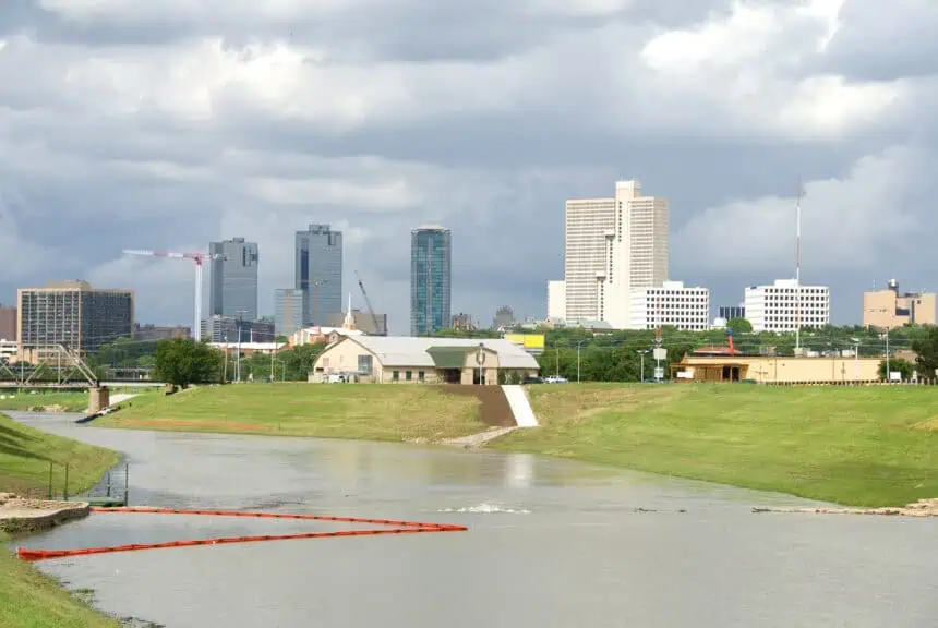
Meanwhile, the Dallas-Fort Worth metro area, extending westward to Abilene, is under a severe thunderstorm watch until 10 a.m., though strong to severe storms are still likely into the afternoon hours.
Threats include:
- Large hail, possibly exceeding 2 inches (5 cm) in diameter
- Damaging wind gusts over 60 mph (97 km/h)
- The potential for a couple of tornadoes
- Flash flooding, particularly in areas with poor drainage or near streams
Rain continues through midweek
This entrenched pattern, established in the wake of an already wet end to April, is forecast to linger through Wednesday and Thursday, with clearing expected by the weekend. Forecast models indicate several more inches of rain could fall in the hardest-hit zones, placing parts of Central and East Texas at an elevated risk of urban and small stream flooding.


