

Severe weather alert expires for southeast Texas
HOUSTON, Texas — Friday, May 30, 2025, 11:02 a.m. CDT — The severe thunderstorm warnings issued earlier today for Harris, Fort Bend, Galveston and Brazoria counties have officially expired, according to the National Weather Service.
Following a morning of intense rain, the alert for Fort Bend County was active until 11:15 a.m., while Harris, Galveston and Brazoria counties remained under threat until 11:30 a.m. before conditions began to ease.
Current weather conditions in Houston and surrounding areas
Although the severe warnings have ended, southeast Texas remains in its peak storm season, and scattered showers are still a possibility through the day. According to the FOX 26 Weather Team, isolated storms may persist, particularly along or just south of the I-10 corridor. Areas north of Houston are likely to see increased rain chances during the afternoon.
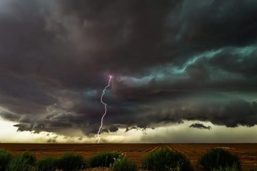
A weak cold front continues to push through the region, triggering brief downpours, small hail, gusty winds, and frequent lightning. Additional storm development is possible later this afternoon and into the evening, especially near the frontal boundary.
Friday temperatures and weekend forecast
Today’s highs in Houston are expected to climb close to 90°F (32°C), with warm and humid conditions persisting. Over the weekend, temperatures will reach the low 90s°F (33–34°C). Rain chances will drop significantly, with only a 10% chance of precipitation on Saturday and a slightly higher 30% chance on Sunday.
Expect mostly dry and warm conditions across the Greater Houston area, with occasional afternoon thunderstorms remaining possible due to lingering humidity and daytime heating.


