
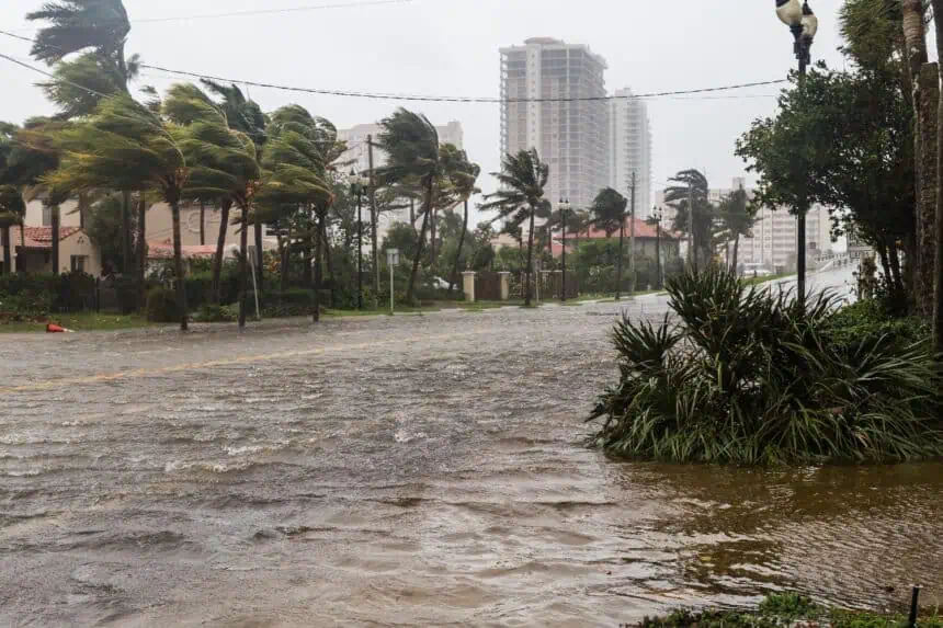

Heavy rain continues over South Florida
A stalled frontal boundary draped across Florida is triggering persistent downpours, and forecasters warn that the situation may intensify in the coming days. As of this Tuesday, June 3, a low-pressure system is drawing tropical moisture from the Gulf of Mexico and the Caribbean, pushing it directly into South Florida. This pattern is expected to remain through the end of the week, keeping regions like Miami, Fort Lauderdale, and West Palm Beach soaked under a forecast of 3 to 5 inches (76 to 127 mm) of rainfall by Friday.
Elevated flood threat and storm potential
According to the NOAA Weather Prediction Center, a Level 2 out of 4 flash flood risk is in effect today for South Florida. Tropical downpours, accompanied by frequent lightning and gusty winds, will continue to make driving conditions hazardous throughout Tuesday and Wednesday. FOX Weather Meteorologist Michael Estime described the weather as “everything falling from the sky at that point,” a reference to the convergence of intense rain, lightning, and wind gusts during the peak afternoon storms.
Monitoring tropical development off the Southeast coast
The National Hurricane Center (NHC) has now officially designated this system as an area of interest for potential tropical development. As June progresses, the southeastern U.S. coast—including the waters off Georgia, South Carolina, and Florida’s east coast—is a climatologically favored region for early-season tropical cyclones.
However, the system’s proximity to land is currently limiting its organization. The FOX Forecast Center noted that the center of low pressure is expected to stay close to or over land for the next 48 hours. This reduces the likelihood of the system maturing into a tropical depression or storm early on.
But if it shifts offshore into the Atlantic, it could still gain tropical characteristics later in the week. NHC lead forecaster Michael Brennan reminded viewers that June systems often form “close to home,” emphasizing the need for vigilance along the Southeast coast.
More tropical moisture on the way
As Thursday approaches, a new surge of humid tropical air is expected to blanket Florida, bringing additional rounds of thunderstorms and localized flooding by Thursday and Friday. This could help mitigate lingering drought conditions that built up during Florida’s dry season, which typically ends by early June.
The 2025 Atlantic hurricane season, now underway, has begun without a named storm for the fourth consecutive year, but this disturbed weather may become the first to watch closely.


