

A hot and hazy Wednesday across Chicago
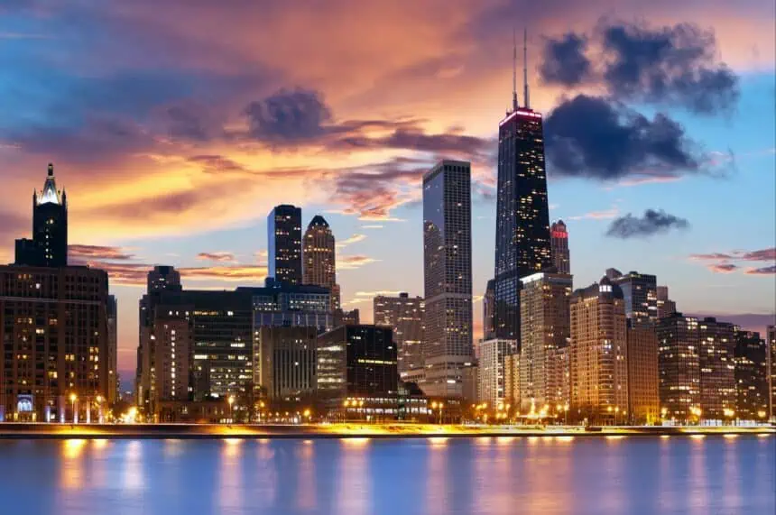
Wednesday, June 11, delivered a scorcher across the Chicago area, with temperatures rising into the upper 80s to low 90s Fahrenheit (31–33 °C) under clear, sunny skies. Despite the radiant weather, wildfire smoke continues to blanket the region, deteriorating air quality across parts of Chicagoland.
Most neighborhoods remain in the “Moderate” AQI range, but some localized zones are now categorized as unhealthy for sensitive individuals, particularly near dense urban corridors and low-lying areas.
Wednesday night outlook: Mostly dry skies with patchy clouds
Tonight will be partly cloudy, with only a minor chance of a passing shower or storm near the Wisconsin border. However, most of the region will likely stay dry. Expect overnight lows to dip into the mid 60s Fahrenheit (around 18 °C), delivering a comfortable and calm evening.
Thursday: Temperature divide sets in
A frontal boundary will stall across the area Thursday, leading to noticeable differences in temperature between the north and south sides of the front.
South of the boundary, conditions will remain warm and humid, with highs climbing into the mid-80s Fahrenheit (29 °C). Meanwhile, north of the front, especially along the lakefront, onshore breezes will cap temperatures in the 70s Fahrenheit (21–26 °C). Partly sunny skies will dominate most of the day.
Friday and Saturday: Thunderstorm chances return
The end of the workweek brings a renewed chance for scattered showers and thunderstorms, especially on Friday and Saturday afternoons. Highs will continue to range from the low to mid 80s Fahrenheit (27–29 °C), with localized downpours and isolated lightning possible. Storm coverage will be spotty, but it’s wise to stay alert near open areas or during peak heating hours.
Sunday (Father’s Day): Mostly dry and slightly cooler
Father’s Day on Sunday appears mostly dry, with clouds dominating the sky but little to no rainfall expected. Temperatures will hover in the low to mid 70s Fahrenheit (23–24 °C)—a cooler, calmer day perfect for outdoor plans in parks, along the lakefront, or backyard gatherings.
Looking ahead: A warm start to next week
The warming trend returns early next week, with Monday through Wednesday seeing highs bouncing back into the 80s Fahrenheit (around 28 °C) under partly cloudy to mostly sunny skies. Expect a continued mix of summer warmth and occasional haze, with possible air quality alerts resurfacing as wildfire smoke lingers aloft.


