
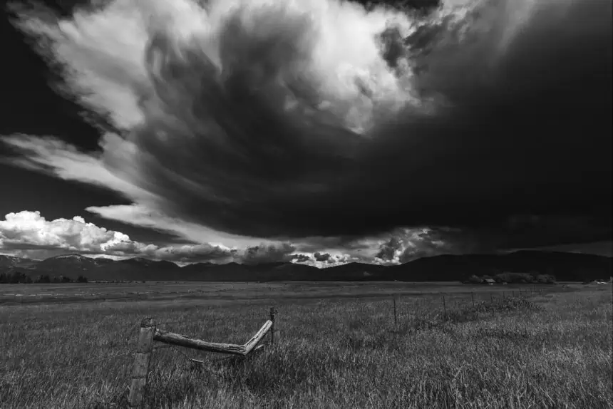

Severe thunderstorms expected across central and northern Montana
Friday, June 13, 2025, brings a heightened threat of severe weather to much of Montana, especially in central and north-central regions. According to the Storm Prediction Center, a significant portion of the state has been placed under a Slight Risk (highlighted in yellow) and an Enhanced Risk (shaded in orange) due to the anticipated strong thunderstorms.
These storms are forecast to unleash damaging wind gusts reaching 60–75+ mph (96–120+ km/h) and large hail measuring 1–2+ inches (2.5–5+ cm) in diameter. There’s also a risk for isolated tornadoes, with the highest probability concentrated in the Enhanced Risk areas across north-central Montana.
Timing and regional storm progression
The initial wave of showers and storms is expected to develop over western and southwestern Montana during the morning and early afternoon. These cells will progressively track east-northeast throughout the day, targeting a broad stretch of terrain.
Between 11 a.m. and 4 p.m., the most intense weather is expected to hit western parts of north-central Montana, including the Rocky Mountain Front, Cut Bank, and Great Falls, as well as the Helena area.
Moving into the afternoon and early evening—from around 1 p.m. to 7 p.m.—the focus shifts toward central north-central areas like Havre and Lewistown.
Later in the day, from roughly 4 p.m. to 10 p.m., storms are forecast to impact northeastern Montana, including Malta and Glasgow. Timing may vary slightly, depending on storm development speed and atmospheric instability.
Hazard outlook: what’s most dangerous
The main concerns for today’s event are intense straight-line winds and very large hail, both capable of causing widespread damage. The risk of tornadoes, though less frequent, is not negligible—particularly for residents and travelers within the orange Enhanced Risk zone.
Conditions are ripe for explosive thunderstorm development, with instability and wind shear levels both supporting supercell formation. Any isolated storm cells could quickly evolve into severe weather producers, and these may merge into larger clusters later in the day.
Stay weather-aware in outdoor settings
If you’re planning to spend time outside, particularly in open areas or on the road, remain vigilant. Monitor the skies, enable weather alert systems, and have a sturdy shelter readily accessible. Montana rarely sees severe threats of this magnitude, making today one of the most volatile weather days of the season across Big Sky Country.
Those in the field or living in rural stretches should be particularly cautious, as fast-moving cells could catch communities off guard.


