
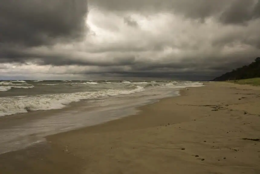

Strong storms expected on Wednesday across southern Michigan
A humid, unstable air mass is pushing into Michigan, setting the stage for severe thunderstorms this week, particularly in the central and southern parts of the Lower Peninsula. According to the National Weather Service, a low-pressure system will slide through the Midwest on Wednesday, June 18, triggering dangerous weather conditions.
Southern counties, including Detroit, Lansing, Kalamazoo, and Coldwater, will likely experience the brunt of the activity, beginning as early as tonight, June 16. Damaging winds, large hail, and even an isolated tornado are possible.
Detroit forecast: hot with possible storms Tuesday and Wednesday
Detroit will reach a high of 88°F (31°C) on June 17, with rain developing after 2 p.m.. The evening will see more showers, and overnight rain is likely again after 2 a.m.
On Wednesday, thunderstorms are expected after 2 p.m., with gusts reaching 21 mph. Total rainfall could range from 0.25 to 0.5 inches.
Lansing to face stormy skies and cooler temps midweek
In Lansing, conditions will mirror those in Detroit. On Tuesday, scattered showers are forecast after 2 p.m., with highs near 87°F (30.5°C). Overnight, thunderstorms will become more frequent.
By June 18, storms are likely after 2 p.m., with highs dropping slightly to 82°F (27.7°C). Evening and overnight hours will remain wet, with repeated waves of rain and thunder.
Western Michigan: Grand Rapids and southwest counties under threat
Grand Rapids will experience rain on June 17, followed by sunshine and a high near 86°F (30°C). Overnight storms become likely after 2 a.m.
By Wednesday, expect storms throughout the day, with a high near 81°F (27.2°C) and gusty winds up to 21 mph. Nighttime rain will persist into the early morning.
In Coldwater, June 17 will be partly sunny, peaking at 85°F (29.4°C), before storms move in after 2 a.m. On Wednesday, thunderstorms develop by midafternoon, continuing into the night, with up to half an inch of rain possible.
Kalamazoo and St. Joseph will also face active skies. Highs in both cities will stay in the low to mid-80s, with storm chances peaking between 5 p.m. Tuesday and 2 a.m. Thursday.
Northern Michigan: cooler but still storm-prone
In Gaylord, expect rain and thunderstorms both Tuesday and Wednesday, with highs around 79°F (26°C) on June 17 and 74°F (23.3°C) on June 18. Heavy rainfall is possible.
Traverse City will see storms after 8 a.m. Tuesday, and again on Wednesday afternoon, with rain continuing overnight. Temperatures will stay near 76–81°F (24–27°C).
Alpena will be slightly cooler, with showers and storms Tuesday and Wednesday. June 18 will top out near 68°F (20°C).
Upper Peninsula outlook: wet and mild conditions persist
In Marquette, the forecast calls for thunderstorms before noon on Tuesday, with a high of 70°F (21°C) and partly cloudy skies by evening. On Wednesday, afternoon rain is expected again, lingering into the night.
Sault Ste. Marie will experience scattered storms throughout Tuesday, with a high of 72°F (22.2°C). Wednesday will bring more afternoon showers and a high around 76°F (24.4°C).
Ironwood will be among the driest areas by Tuesday afternoon, after early morning storms. Temperatures remain comfortable, near 75°F (23.8°C) both days, though light rain may return by Wednesday evening.


