

Severe thunderstorm watch in effect for Monmouth and Ocean counties
NEW JERSEY — Wednesday, June 19, 2025, 8:00 a.m. EDT — Intense heat and oppressive humidity have made a fierce return across New Jersey, and with them comes a renewed threat of severe storms, particularly through Central and Southern New Jersey. A severe thunderstorm watch is currently in effect for Monmouth and Ocean Counties, where localized downpours and frequent lightning are possible through the evening commute.
If you’re traveling along the Jersey Shore this afternoon or evening, be prepared for rapidly changing weather, especially near Route 35 and Garden State Parkway. Expect sudden heavy rain and reduced visibility, particularly as unstable air masses surge from the southwest.
Storm risk intensifies Thursday across the tri-state area
By Thursday, June 20, a hot, gusty wind from the southwest will push temperatures across New York City and northern New Jersey to around 90°F (32°C). The early part of the day will remain dry, but conditions will deteriorate quickly by the late afternoon, as a cold front approaches from the west, triggering strong to severe thunderstorms.
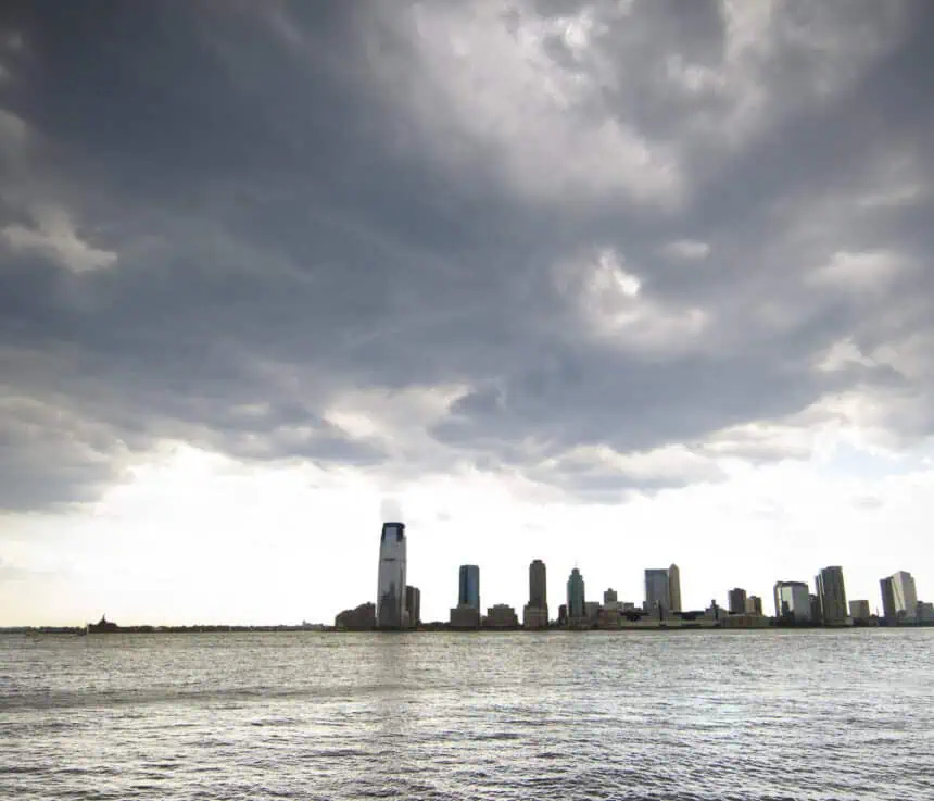
Thursday evening’s commute is likely to be impacted by widespread showers, damaging wind gusts, isolated hail, and the potential for flash flooding, especially in poor drainage zones and low-lying roadways in areas like Trenton, Newark, and Jersey City.
Friday brings a brief break before summer heat builds
As the cold front sweeps eastward overnight Thursday, rain chances will quickly diminish, leaving Friday noticeably drier and more stable. However, the airmass behind the front is not cool — in fact, it marks the beginning of a prolonged heat wave across the Eastern Seaboard.
90s return with vengeance next week
The upcoming weekend and the first full week of summer will see a powerful ridge of high pressure establish itself over the eastern half of the United States. This will bring widespread high temperatures in the upper 80s to low 90s (31–34°C) across New Jersey, and potentially the first official heat wave of the season for New York City.
By Monday, the heat index — or “feels like” temperature — could exceed 100°F (38°C), particularly in urban areas where asphalt and concrete trap heat. The humidity will surge alongside the rising temperatures, creating dangerous conditions especially for those unaccustomed to such early-season extremes.
Stay alert through the week as conditions evolve rapidly, especially as storm chances return with any frontal boundaries that manage to break through the dominant high-pressure system.


