

Rain likely on Independence Day, eyes on tropical system near Florida
Rain and thunderstorms have returned to the local forecast across South Florida, and they may linger into Thursday, July 4, raising concerns for holiday events. At the same time, meteorologists are closely monitoring a tropical disturbance near the northern Gulf Coast of Florida with potential for development.
Tropical outlook: 40% chance of development this week
A frontal boundary is expected to stall over northern Florida this weekend, creating conditions often associated with tropical formation during hurricane season. Model guidance suggests this stalled front could spawn an area of low pressure.
As of today, the National Hurricane Center is giving this area a 40% chance of tropical development within the next seven days. The center noted that, regardless of development, heavy rainfall is likely across parts of the southeastern United States, especially along the central-west coast of Florida.
The potential tropical system or low-pressure area is forecast to drift eastward. While a direct impact to South Florida looks unlikely at this time, it could still influence local weather patterns.
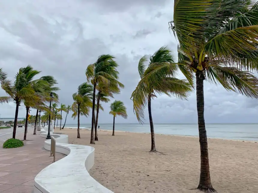
South Florida forecast: rain continues through the week
Showers and storms returned to South Florida on Wednesday, with another round expected between afternoon and evening. Although severe weather is not anticipated, frequent lightning and brief heavy downpours are expected.
These summer storms, though inconvenient, may help ease the region’s ongoing drought conditions. As of early July, Fort Lauderdale is nearly 10 inches (254 mm) below its normal rainfall for the year, and Miami is over 5 inches (127 mm) short.
July 4 forecast: afternoon storms, but possible evening break
The weather pattern heading into Independence Day will feature light southwesterly winds, a setup that usually brings afternoon and early evening thunderstorms, followed by dry spells in the morning.
That’s the expected trend for Thursday and into the holiday weekend. There’s some optimism that storms may clear in time for Friday night’s fireworks, but forecasts remain uncertain.
Still, the return of widespread rainfall is making an impact on the region’s rain deficit, helping to slow or even reverse drought conditions.
At this time, it’s impossible to pinpoint whether a tropical storm will form or exactly where it might develop. The Telemundo 51 Weather Team will continue to monitor the situation closely and provide frequent updates throughout the week on all broadcasts and digital platforms.


