

Could storms cancel your fireworks? Here’s what to expect across Minnesota this Independence Day weekend.
Friday, July 4, is shaping up to be the hottest Fourth of July in four years across Minnesota, with temperatures soaring into the low and mid-90s°F (around 33–35°C). It’s on track to become the second-hottest Fourth since 2000 — only 2012 was hotter, when temperatures spiked to 101°F (38°C).
But the heat alone isn’t the only concern. Tropical humidity, with dew points climbing into the low to mid-70s°F (around 22–24°C), will make the air feel incredibly muggy and oppressive. This combination of extreme heat and humidity will push heat index values near 100°F (38°C), especially across western and central Minnesota by late Friday afternoon.
Because of this, the National Weather Service has issued both heat advisories and excessive heat warnings for a wide swath of central and northern Minnesota, effective from midday Friday through 8 p.m. Local officials are urging caution with any outdoor plans during the hottest parts of the day.
But the biggest wildcard for holiday celebrations, particularly fireworks Friday night, is the threat of storms. A developing low-pressure system and approaching cold front are set to trigger showers and thunderstorms across much of Minnesota from late Friday into Saturday.
Storms are expected to initiate in northwest Minnesota late Friday afternoon and gradually expand southeast through the evening. Several weather models show different timings, but the European model continues to suggest that storms could reach the Twin Cities metro right around fireworks time. However, many forecasters believe this model may be too fast, meaning fireworks could still go off before storms arrive.
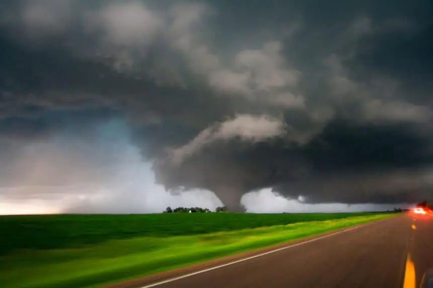
There is a SLIGHT risk (level 2 of 5) for severe weather in northwest and northern Minnesota, where initial storm cells could become strong to severe, producing damaging wind gusts over 60 mph, with a low but not zero chance of tornadoes or large hail. As these storms track southeast through the night, they’re expected to gradually weaken.
The Twin Cities area, including Minneapolis and St. Paul, sits in the Marginal Risk zone (level 1 of 5), meaning isolated severe storms are possible, but not likely widespread. The primary concern will be downburst wind gusts, which could accompany some of the more organized cells.
That said, atmospheric shear, which helps support longer-lived severe storms, is relatively weak in this setup. However, downdraft C.A.P.E., which measures how fast air can descend within a storm, is notably high across eastern North Dakota, and western and northern Minnesota — supporting the potential for strong outflow winds.
The HRRR model suggests areas across northern and western Minnesota could experience isolated wind gusts topping 60 mph between Friday evening and early overnight.
Heading into Saturday, expect lingering scattered thunderstorms, along with continued warmth and humidity. While the overall severe threat is lower, lightning remains a risk, especially if you’re planning time on lakes or outdoors.
By Sunday and Monday, a shift in air mass behind the front will bring welcome relief. Dew points will tumble into the 50s°F (around 10–13°C), ushering in clearer skies, dry weather, and much more comfortable conditions to wrap up the holiday weekend.
The next chance for isolated thunderstorms may return by Tuesday, but next week appears calmer and seasonable for most of Minnesota.


