

Warm and sunny conditions continue across Minnesota today, with dry air and comfortable temperatures dominating the forecast. As of Wednesday evening, residents in central and southern Minnesota, including the Twin Cities, are enjoying clear skies and highs reaching the low 80s °F (around 27 °C).
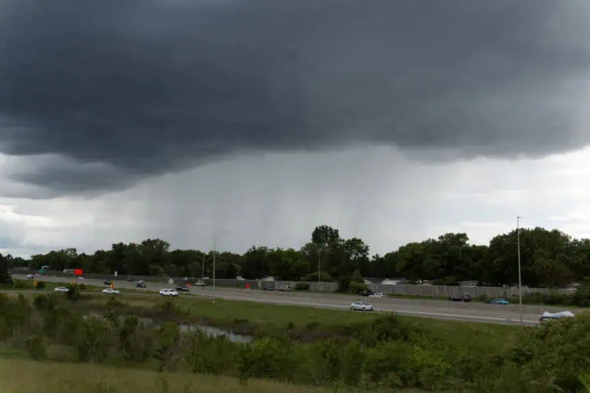
Thunder chances increase overnight, especially across northwestern and western Minnesota, where isolated thunderstorms could develop. These storms are not expected to be severe, but rising dew points will introduce more humidity into the air by Thursday.
By Thursday afternoon, spotty thunderstorms are possible, mainly across eastern Minnesota, as moisture builds and temperatures remain in the upper 70s to low 80s °F (26–28 °C). While coverage will be limited during the day, the greater potential for widespread storms comes Thursday night into Friday night.
The Storm Prediction Center currently places Minnesota under a marginal risk (level 1 of 5) for severe weather, which means isolated strong storms with gusty winds, hail, or brief downpours cannot be ruled out. This system will move through by late Friday, setting the stage for a clear and refreshing weekend.
Saturday and Sunday look gorgeous, with abundant sunshine, low humidity, and highs returning to the upper 70s °F (around 25 °C) across much of the state. Whether you’re in Minneapolis, Duluth, or heading up to Brainerd, the weekend weather will be ideal for outdoor plans.


