

An unusual shift in the tropical Atlantic Ocean, known as an Atlantic Niña, is capturing the attention of meteorologists this July 2025. Despite a global trend of rising sea surface temperatures, this cooler-than-average patch of ocean has introduced an unpredictable variable to the 2025 Atlantic hurricane season.
What’s happening with the Atlantic Niña
An Atlantic Niña refers to a persistent cooling of surface waters in the tropical Atlantic, particularly near the Gulf of Guinea. Unlike the more widely known El Niño or La Niña, which form in the Pacific Ocean, this phenomenon can cool portions of the eastern equatorial Atlantic by more than 1°F (0.5°C) below average.
Back in August 2024, the National Oceanic and Atmospheric Administration (NOAA) first noted early signs of this cooling trend. By now, it’s become a distinct pattern, although many experts suggest it won’t last long enough to reshape the entire season.
How cooler Atlantic waters influence hurricane formation
Cooler sea surface temperatures in the eastern Atlantic—especially near West Africa—tend to weaken the African monsoon and reduce the strength of easterly waves, which are key ingredients for hurricane formation. As Carl Schreck, senior research scholar at North Carolina State University, explains, these tropical disturbances are often the seeds of Atlantic hurricanes.
“An Atlantic Niña tends to weaken the monsoon and the easterly waves that fuel early tropical systems,” Schreck noted, highlighting its short-term dampening effect on hurricane activity.
Why experts expect this cooling to fade quickly
Despite its noticeable presence in recent weeks, meteorologists believe the Atlantic Niña is already losing strength. Ryan Truchelut, president of Weather Tiger, points to several red flags.
“We’re already seeing weaker trade winds, and those sea surface temperatures are climbing fast,” Truchelut said. “If the cooling were going to hold, we’d expect that cold anomaly to reach deeper levels—25 to 50 meters below the surface. But it’s still warmer than normal at depth.”
Truchelut predicts the Atlantic will flip back to warmer conditions within a month, allowing hurricane-fueling waters to return. Once that happens, the tropical waves emerging from the West African coast will face ideal conditions for intensification.
The 2025 hurricane season could still be very active
Even with a slow start, the NOAA remains firm in its forecast: at least 17 named storms are expected by the end of the 2025 Atlantic hurricane season, and up to five of them may become major hurricanes.
The reason? Exceptionally warm ocean waters. As sea temperatures rise, evaporation increases, filling the atmosphere with moisture. This leads to stronger cloud formation, more intense rainfall, and the potential for severe tropical storms.
The temporary cooling from the Atlantic Niña may have delayed hurricane activity, but as conditions shift, the season is likely to ramp up quickly.
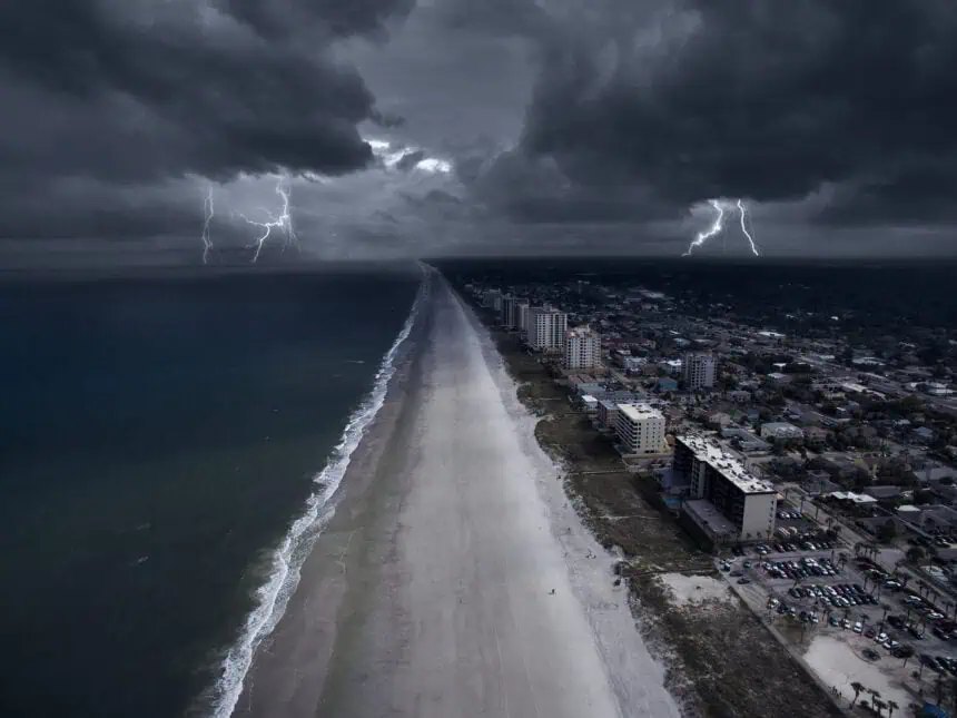
Florida, the Gulf Coast, and the Eastern Seaboard should remain alert, as warmer waters are known to supercharge storms, leading to more dangerous and erratic systems as the peak of hurricane season approaches.


