
 MINNEAPOLIS, Minnesota – A stretch of unsettled weather is taking shape across Minnesota, with intermittent thunderstorms and rising humidity set to dominate the coming days. By late morning today, Monday, July 21, showers and isolated storms are expected to sweep into the Twin Cities, including Minneapolis and St. Paul, bringing the first wave of a turbulent weather pattern.
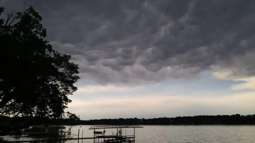
Skies across the metro will darken gradually, with clouds thickening through the early hours. The National Weather Service has flagged a marginal level 1 risk for severe storms, especially in and around Plymouth, Maple Grove, and Eden Prairie. A special weather statement was issued early this morning due to the potential for gusty winds up to 40 mph and pea-sized hail in isolated pockets.
Although the first round of activity will taper off by the afternoon, don’t expect sunshine to stick around for long. Temperatures will hover between the upper 70s and low 80s Fahrenheit (around 25–28°C) statewide, with the Twin Cities reaching close to 80°F (27°C).
Looking ahead, storm chances persist through Thursday, but Tuesday stands out as the day with the highest risk of severe weather. Strong winds and small hail remain the top concerns as unstable air spreads across southern Minnesota.
By midweek, heat and humidity take center stage. Wednesday will feel particularly oppressive, with temperatures climbing into the low 90s (32–34°C) and heat index values soaring into the mid-90s (35°C). Expect a muggy atmosphere with on-and-off thunderstorms adding to the discomfort.
Conditions will ease slightly by Friday, when temperatures drop back toward seasonal norms. A calmer weekend appears on the horizon for much of the state, bringing a welcome break from the stormy pattern.


