
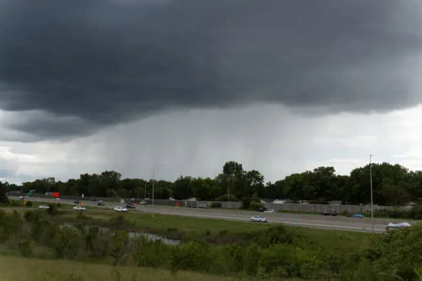

After a stormy Wednesday across much of Minnesota, a brief stretch of calmer weather is now settling in. But residents shouldn’t get too comfortable—humidity and storms are poised to make a swift comeback by the weekend.
Today and Friday, expect more stable conditions with a slight dip in dew points, offering a short-lived reprieve from the mugginess that’s gripped the state. Still, air quality is a growing concern again, especially in urban areas like Minneapolis and St. Paul, where smoke and ozone levels may reach unhealthy levels through Friday evening.
By Saturday, heat and moisture start creeping back in, pushing daytime highs into the upper 80s (around 31°C) with dew points climbing into the 70s (over 21°C), creating sticky, uncomfortable conditions. Parts of northern Minnesota may see spotty thunderstorm activity through the weekend, but Sunday night brings the highest risk for more widespread storms as a cold front sweeps through the region.
Monday may linger on the hot and humid side, but by midweek next week, a notable cooldown is expected. Highs could dip back into the upper 70s (around 25°C) with a sharp drop in humidity, bringing welcome relief to the entire state.


