

A notable change in the weather pattern is now setting in across Texas as we move through Thursday, with storm activity increasing due to a combination of tropical moisture and summer heat. The most impacted areas will likely be Western Texas, the Texas Panhandle, and much of Southeastern Texas, especially along the Gulf Coast. Elsewhere, oppressive humidity and soaring temperatures continue to dominate.
Western Texas and the Texas Panhandle: Evening Storm Risk Intensifies
Starting this afternoon and evening, scattered thunderstorms are expected to ignite across the western third of Texas, including regions like the Trans-Pecos, the Permian Basin, the South Plains, and the Texas Panhandle. A flow of monsoonal moisture arriving from the southwest is setting the stage for storm development, particularly late in the day.
Some of these storms, especially over the Texas Panhandle, may linger overnight into Friday morning. The strongest cells could bring damaging straight-line winds, as well as intense downpours capable of producing localized flash flooding. If you’re traveling or outdoors in West Texas tonight, be mindful of rapid weather changes.
Southeastern Texas and Gulf Coast: Tropical Disturbance Rolls In
Between Friday and Saturday, attention shifts to Southeast Texas and the Gulf Coast, where a weak tropical disturbance is expected to approach from the Gulf of Mexico. Although no tropical cyclone development is anticipated at this time, the system will flood the region with tropical moisture, triggering widespread shower and thunderstorm activity.
From Galveston and Houston, down the Middle Texas Coast into South Texas, residents should expect scattered to numerous rain showers, especially during the daytime hours. The heaviest rainfall will likely concentrate along and just inland from the coastline, with isolated totals reaching 1 to 2 inches (25 to 50 mm). Urban areas and low-lying zones may see brief street flooding, particularly during the strongest bursts of rain.
Across the Rest of Texas: Heat Holds Strong
In regions not influenced by the tropical system or evening storms, summer swelter remains firmly in place. High temperatures today will reach the upper 90s to lower 100s°F (36–39°C) across a broad swath of the state. When combined with elevated humidity, heat index values will soar into the 105–110°F (40–43°C) range—especially across Eastern and North Texas during the mid-to-late afternoon.
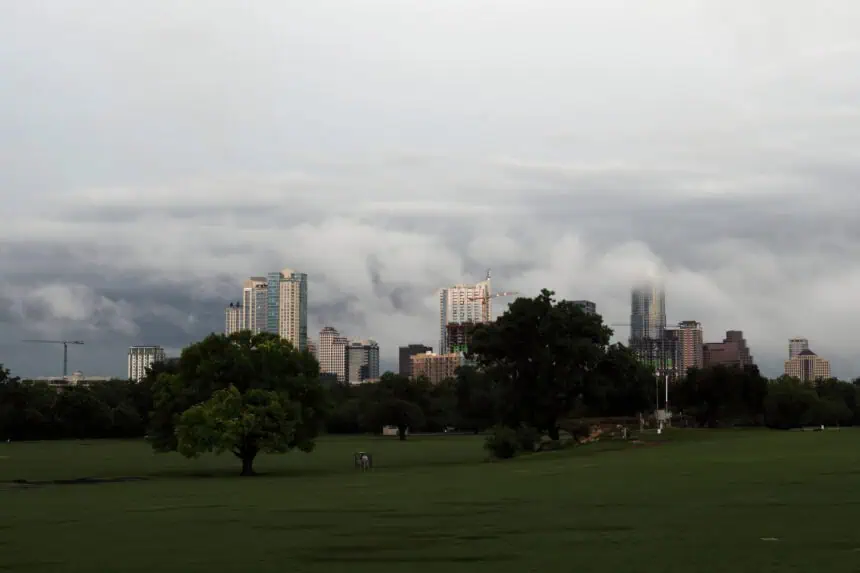
Heat fatigue, air stagnation, and very warm overnight lows will continue to be factors heading into the weekend. Stay mindful of the heat, particularly in densely populated cities like Dallas, Austin, and San Antonio, where urban heat can intensify conditions even further.


