

Soaking rain sweeps across southern Minnesota
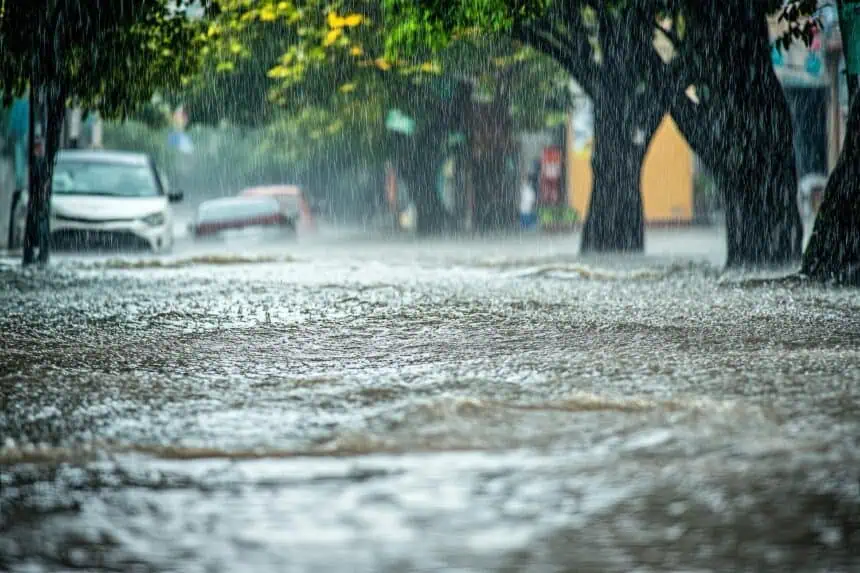
A potent storm system is spinning through Minnesota, delivering a significant soaking that’s expected to last through Tuesday and into early Wednesday. According to meteorologist Sven Sundgaard, this system could bring between 1 and 3 inches (2.5–7.6 cm) of rainfall to southern Minnesota, offering a potential relief from the 1 to 2 inch (2.5–5 cm) rainfall deficits recorded this May.
Clouds linger, temperatures remain below average
Following the rain, cooler-than-normal temperatures will persist throughout most of the week, though skies will gradually brighten by Thursday. Daytime highs will likely remain well below seasonal averages, with many areas struggling to rise much above the mid 60s°F (around 18°C).
Memorial Day weekend: cooler start, drier skies
As the holiday weekend approaches, the outlook remains somewhat cool but dry, at least through the first half. Outdoor plans may still be on track, despite the brisker air. Sundgaard hints at the possibility of a warm-up later next week, suggesting heat may begin to build again, offering a more typical late-May feel as we head toward June.
Severe weather and climate change context
While individual weather systems like this cannot always be directly attributed to climate change, the increasing frequency and intensity of such soaking rain events fit within a broader trend. According to the IPCC, the planet is on course toward dangerous warming, with greenhouse gas emissions needing to be cut in half by 2030 to prevent the most extreme climate scenarios.


