

Thunderstorms and breezy conditions Tuesday in southwest Missouri
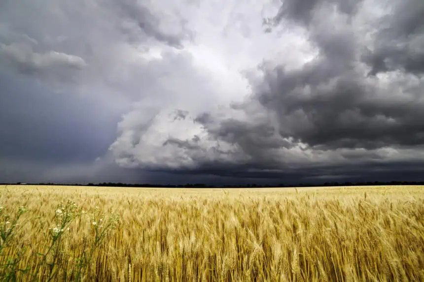
Springfield, Missouri, braces for a stormy Tuesday, as thunderstorms and gusty winds sweep across the region, especially along I-44 and Highway 60. According to the National Weather Service in Springfield, rain and scattered thunderstorms will begin early Tuesday afternoon and persist until at least 6 p.m., with the heaviest activity likely between 1 p.m. and 5 p.m..
Expect brief heavy downpours, lightning, and wind gusts up to 23 mph, particularly in Greene, Christian, Dallas, and Polk counties. While today’s rainfall alone isn’t expected to cause flooding, river levels remain high from recent storms, posing ongoing risks near low-lying areas and creeks.
No severe storms are currently forecast, and spotter activation is not planned, though residents should remain alert to sudden changes, especially when traveling.
Tuesday evening will see a return to calmer conditions with mostly cloudy skies and overnight lows near 53°F (12°C).
Forecast through the week in Springfield
Wednesday welcomes mostly sunny skies with a high near 71°F (22°C), and Thursday stays partly sunny with just a slight chance of showers and highs around 72°F (22°C). By Friday and Saturday, the weather turns noticeably warmer and drier, as sunshine dominates and temperatures rise into the low 80s°F (27°C–28°C) — delivering a true early-summer atmosphere just in time for the start of June.


