

Above-average heat expected across western Massachusetts
As summer steadily approaches, temperatures across Massachusetts—especially in the western region—are beginning to climb. According to the National Oceanic and Atmospheric Administration (NOAA) and the National Weather Service, both the 8 to 14-day outlook and the seasonal summer forecast are signaling above-normal warmth for much of the Northeast, including Chicopee and the broader Pioneer Valley.
Mid-June warming leads into a hotter-than-usual season
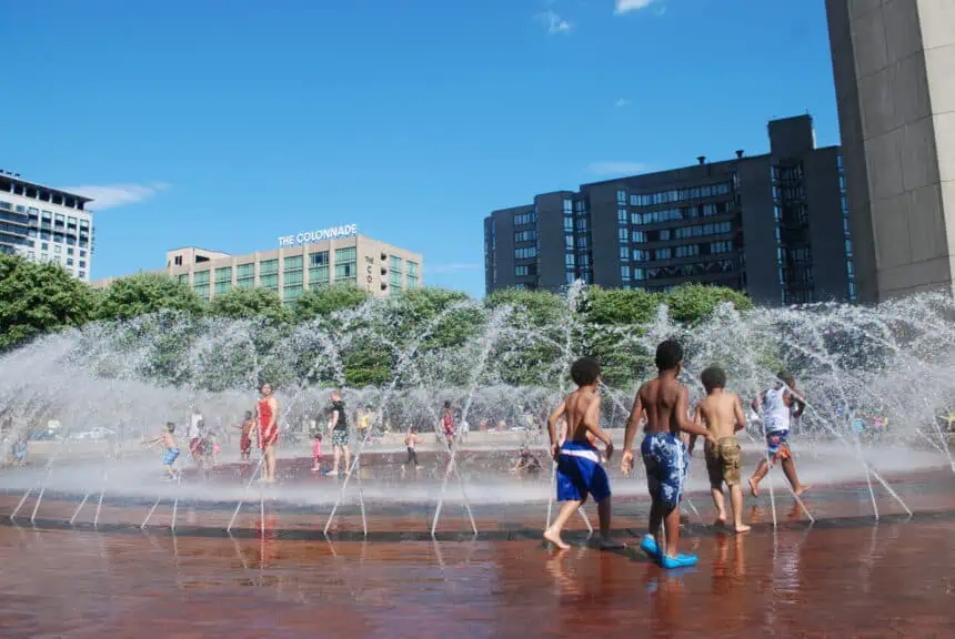
Although the official start of summer is still a few weeks away—June 21, to be exact—early indicators point toward a sizzling start. The typical July highs in western Massachusetts hover in the mid-80s °F (around 29 °C), but this year, forecasters expect temperatures to surge into the 90s °F (above 32 °C) on a more frequent basis.
This extended heat trend is supported by recent model guidance, which suggests that the jet stream will remain farther north, allowing hotter air masses from the south-central United States to spread into the Northeast.
Regional patterns show persistent Northeast warmth
Massachusetts, along with much of the Northeast, is under a broad dome of high pressure expected to dominate for much of the early and mid-summer period. This means that cooler breaks, often driven by cold fronts from Canada, will be less frequent than in typical summers.
Residents in cities like Springfield, Amherst, and Northampton should prepare for longer durations of daytime heat, and milder nights, with overnight lows likely not dropping as much as usual.
Watching the countdown to summer
With just 24 days to go until the season officially kicks off, all signs point to a scorching start. The current seven-day outlook already hints at warming trends, and conditions will likely intensify as we move through June.
For continuous updates, stay tuned to WWLP-22News and their Digital Edition, airing weekdays at 4 p.m. on WWLP.com.


