

Strong storms hit central-eastern North Carolina on Tuesday
On Tuesday afternoon, the National Weather Service in Raleigh, North Carolina, issued a severe weather alert for parts of central and eastern North Carolina, warning of strong thunderstorms moving northeast at 40 mph. The alert went into effect at 2:38 p.m. and is expected to remain active until 3:45 p.m., impacting Johnston, Wayne, and Sampson counties.
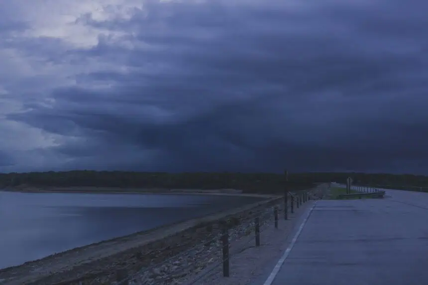
Thunderstorms bring 50 mph (80 km/h) wind gusts
According to Doppler radar, the storm line stretched from 7 miles south of Godwin to near Clinton and Warsaw, prompting urgent warnings. The NWS notes that wind gusts may reach 50 mph (80 km/h), with the potential to knock down tree limbs and scatter unsecured objects.
Communities likely to be affected include Goldsboro, Clinton, Mount Olive, Walnut Creek, Roseboro, Garland, Newton Grove, Salemburg, Turkey, and Autryville. Residents across these areas were advised to seek indoor shelter immediately as conditions rapidly deteriorated.
Severe lightning threat and safety measures
Each year, the United States experiences approximately 25 million lightning strikes, most of which occur during the summer season. These events tragically cause an average of 20 fatalities annually. The likelihood of a lightning strike intensifies as a thunderstorm approaches, peaking when it’s directly overhead.
To reduce the risk:
If you’re outdoors, have a plan to reach shelter quickly. As soon as thunder is audible, find a secure indoor location. Once inside, avoid using corded phones, stay away from electrical appliances, plumbing, and windows or doors. Stay sheltered for at least 30 minutes after the last thunderclap.
If indoor shelter isn’t possible, stay away from ridgelines, solitary tall trees, or elevated objects. Seek lower terrain, such as valleys or ravines, and spread out if you’re with a group to prevent current from traveling between individuals. Never assume a tent provides lightning protection, and avoid contact with metal or wet items.
Driving dangers: rain, road spray and hydroplaning risks
Rain-related hazards also surge during storms like these. Visibility drops, roads become slick, and the risk of hydroplaning rises. To stay safer while driving:
Turn on your headlights, even during the day. Drive in central lanes on elevated sections of roadways, where water doesn’t pool as much. Avoid puddles, which may cause you to lose traction or skid. Stay clear of large vehicles, as their spray reduces visibility. If you reach a flooded road, turn around — do not drive through. Flash flood waters can be deceptive and powerful enough to sweep vehicles away or damage mechanical systems.
Understanding and reacting to hydroplaning
Hydroplaning happens when a car slides uncontrollably on a wet road due to water pressure lifting the tires off the surface. Even a thin layer of water can cause this, especially when:
- Driving speed increases, which lowers tire traction
- Water depth is significant, reducing road contact
- Tire tread is worn down, preventing grip
If your vehicle starts to hydroplane:
Ease off the gas, allow speed to reduce. Turn in the direction of the skid, so tires realign. Wait until the tires reconnect with the road, then gently straighten the wheel. If your vehicle has anti-lock brakes, brake normally; otherwise, use gentle pumping to reduce speed.
Stay alert, especially during Tuesday’s storms, as weather conditions remain unstable across North Carolina.


