
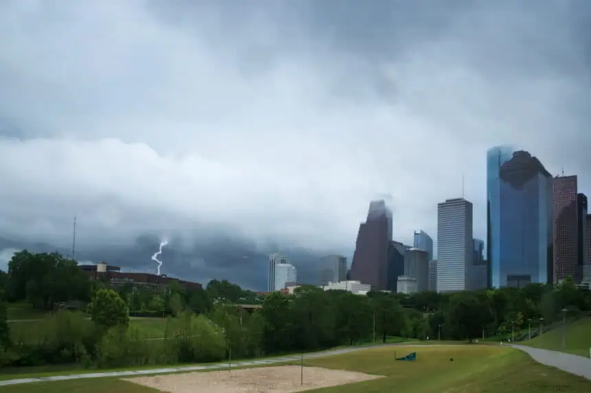

Heavy rainfall returns Tuesday morning across Southeast Texas
A stormy weather pattern has settled over Houston and much of Southeast Texas, and according to high-resolution forecasts, it’s not letting up anytime soon. The High-Resolution Rapid Refresh (HRRR) model shows a band of thunderstorms, which initially formed across the Texas Panhandle on Monday, sweeping through the Hill Country by late Tuesday morning, reaching the Houston metro area shortly afterward.
Tuesday: high chances of early morning storms
Expect scattered storms—with a 40 to 60 percent chance—especially north of Interstate 10 and west of Interstate 45 during the early morning hours. Rainfall totals through Wednesday morning could easily exceed 1 inch (25 mm) in several locations. While widespread flooding is unlikely, localized flash flooding may occur in low-lying or poorly drained urban areas due to high rainfall rates.
Even though the thunderstorm complex may weaken slightly, it is expected to maintain enough energy to move through Houston by late morning or early afternoon. These early-day storms will likely stabilize the atmosphere, possibly resulting in a dry evening commute across the metro area.
Wednesday: more storms with uncertain timing
Another upper-level system will cross the Red River Valley on Wednesday, maintaining an active pattern over the region. Forecast models suggest a new thunderstorm cluster could leave the Hill Country by daybreak and push into Southeast Texas between 9 a.m. and noon. If this verifies, the atmosphere may be too exhausted of instability to support additional storm activity during the afternoon hours.
Rainfall accumulations through Monday
The National Weather Service’s Weather Prediction Center estimates that rain totals may reach 2 to 4 inches (50 to 100 mm) in areas north of Houston, particularly near Waco and across North Texas, where the flooding risk is expected to be higher. The Houston area will also see substantial precipitation, although not necessarily as concentrated.
Late week: slightly drier, but not dry
By Thursday and Friday, storm chances remain but could decrease as high atmospheric pressure begins to build from the southwest. Should this high-pressure ridge gain control, rain chances may drop to 40% or less by the end of the week. Regardless, cloud cover and occasional showers will keep temperatures in check, with afternoon highs hovering between 88°F and 92°F (31°C to 33°C).
Weekend forecast: classic June heat with tropical moisture
Typical June weather returns this weekend. Houston’s normal high for this time of year sits between 91°F and 93°F (33°C to 34°C). While daily downpours remain possible, especially if moisture surges persist from the Gulf of Mexico, any development of firm high pressure over Texas could reduce rainfall and allow temperatures to rise slightly above average.
These early summer rains may be disruptive, particularly during commuting hours, but they’re also mitigating early season heat, providing temporary relief before the drier, hotter conditions typical of July and August settle in across Southeast Texas.


