

🌤️ Warm and dry through Thursday across New Jersey
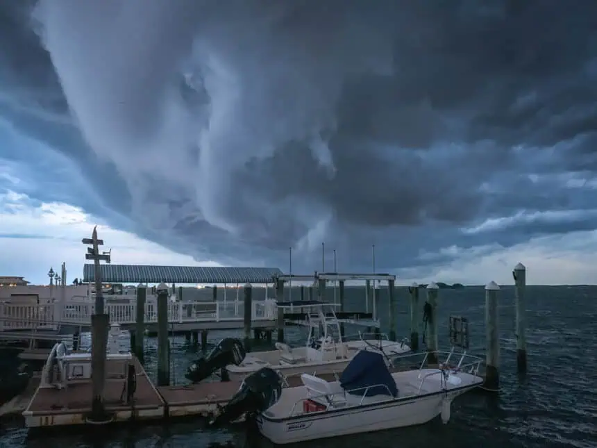
A cold front is moving across New Jersey this Tuesday evening, ending the recent stretch of humid conditions. Behind it, Wednesday and Thursday will feel much more comfortable, with sunshine, low humidity, and highs in the upper 70s to mid-80s °F (25–29°C).
Overnight, temperatures will dip into the mid-50s to mid-60s °F (13–18°C), with clearer skies and lighter breezes replacing Tuesday’s spotty thunderstorms.
🌧️ Storms return by Friday as pattern shifts again
A second cold front is forecast to approach the region on Friday, then stall near the Mid-Atlantic coast, introducing a more unsettled air mass. Expect scattered showers and isolated thunderstorms to develop by Saturday, extending into Sunday.
Temperatures will follow a cooling trend, with Friday’s highs in the mid-80s °F (29–30°C), Saturday settling around the low 80s °F (27°C), and Sunday likely hovering in the upper 70s °F (25°C).
🌊 Beach caution: Moderate rip current risk through Wednesday
If you’re heading to the Jersey Shore, note that rip current risks remain moderate through Wednesday due to south-southwest winds and wave heights of 2–4 feet. Conditions should improve late week, but local updates remain crucial.
📅 Early next week: More rain possible
Long-range models suggest that the wet pattern could persist into early next week, as waves of low pressure ride along the stalled front. This setup may deliver intermittent rainfall, with uncertain timing and fluctuating temperatures.
Stay alert for updates as models become more refined, especially with Father’s Day weekend approaching.


