

Stronger storms move out of the Tri-County area
This Wednesday morning, the National Weather Service confirmed that the main line of strong to severe storms which swept across the Tri-County region — Charleston, Berkeley and Dorchester Counties — has now moved out, reducing the overall threat level. The formal severe thunderstorm warnings issued earlier in the day expired by 10:45 a.m. for those counties, while Beaufort County’s alert ended at 10:15 a.m.
Radar activity and storm movement
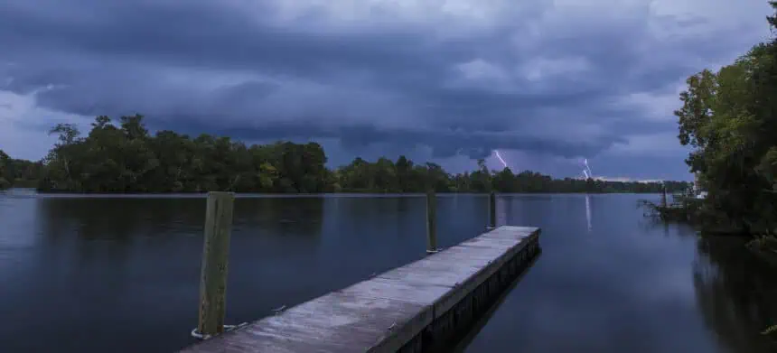
Earlier, Doppler radar tracked a fast-moving storm line stretching from 6 miles south of Cross to Kiawah Island, pushing northeast at 45 mph. These storms delivered gusty winds, intense rainfall, and the risk of hail, potentially causing damage to roofs, siding, and vegetation.
Although this primary system has cleared, isolated thunderstorms remain possible throughout Tuesday afternoon, especially in the Lowcountry. These pockets of convection could still bring damaging wind gusts and localized power outages due to fallen limbs or trees on power lines.
Tornado and thunderstorm warnings lifted
The tornado warning that was in effect for Charleston, Colleton, and Beaufort Counties was officially lifted shortly after 10 a.m., allowing emergency management teams to reassess the situation under more stable atmospheric conditions. While the most intense cells are no longer active, residual instability may foster more isolated storm development throughout the day.
Residents across coastal South Carolina, especially near Colleton, Summerville, and Johns Island, should remain alert to fast-changing weather conditions as scattered thunderstorm cells pass through the region.


