

Severe weather conditions impact Eastern North Carolina
Saturday afternoon, the National Weather Service (NWS) in Wilmington, North Carolina, issued an urgent update at 1:46 p.m. warning of strong thunderstorms moving across Eastern North Carolina. This alert, valid until 2:45 p.m., specifically targeted Inland Pender, Coastal Pender, Inland New Hanover, Coastal New Hanover, and Inland Brunswick counties.
According to meteorologists, a cluster of thunderstorms was tracked by Doppler radar moving east at 25 mph, from areas near The Borough to Town Creek. These storms are capable of producing wind gusts up to 50 mph, which can snap tree limbs, scatter unsecured objects, and potentially damage structures.
Areas under immediate threat
The primary locations expected to be affected include:
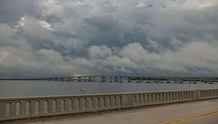
Wilmington, Leland, Burgaw, Wrightsville Beach, Surf City, North Masonboro Island, Figure Eight Island, Hampstead, Northwest, Topsail Beach, Point Caswell, Hightsville, Long Creek, and Currie.
Also impacted are:
Cape Fear Community College North Campus, Wilmington International Airport, Castle Hayne, Murrayville, Ogden, and Winnabow.
Major roadways included in the warning:
Interstate 40 between mile markers 398 and 416
Interstate 140 between mile markers 15 and 20
Dangerous thunderstorm effects and safety information
The NWS emphasized that these storms are producing torrential rainfall, which could result in localized flash flooding. They also noted continuous cloud-to-ground lightning, posing a serious hazard for anyone outdoors.
“If you can hear thunder, you are close enough to be struck by lightning.”
Immediate shelter indoors is recommended due to frequent lightning and the potential for sudden flooding in low-lying areas.
Understanding lightning risk and safe behaviors
Each year, approximately 25 million lightning strikes occur across the United States, peaking in summer months. On average, these cause about 20 fatalities annually. Risk of being struck increases as a thunderstorm approaches, reaching its peak as the storm is overhead.
To minimize lightning-related dangers, remain vigilant:
If outdoors, create a plan to reach shelter quickly.
As soon as thunder is audible, find refuge inside a sturdy building.
Once indoors, avoid using corded phones, plumbing, windows, and electrical devices.
Remain inside for at least 30 minutes after the last thunderclap before venturing back outdoors.
If indoor shelter is not accessible:
Stay away from open fields, hilltops, or isolated trees.
In forested areas, seek low, dense vegetation.
Disperse your group to reduce risk of multiple injuries from a single strike.
Avoid water, wet gear, and metal, which conduct electricity even if they don’t attract lightning.
Driving in rainy conditions: what to know
Driving during a thunderstorm comes with unique hazards. Take these precautions when behind the wheel:
Turn on your headlights to enhance visibility for yourself and others.
Stick to middle lanes, avoiding low-lying areas prone to water pooling.
Avoid puddles — they can cause vehicles to hydroplane or skid.
Keep a safe distance from large trucks or buses, whose tire spray can obscure your vision.
Never attempt to drive through flooded streets — currents may be stronger than they appear, and vehicles can stall or be swept away.
What is hydroplaning and how to handle it
Hydroplaning occurs when your tires lose contact with the road, riding on a thin layer of water. This leads to loss of steering and braking control.
It’s triggered by:
High speeds: Faster vehicles have less tire grip in wet conditions.
Water depth: Even a shallow layer can cause a skid.
Low tire tread: Worn-out tires are significantly more prone to hydroplaning.
If your car begins to hydroplane:
Lift off the accelerator gently — don’t brake suddenly.
Steer into the direction of the skid to regain traction.
Wait for your tires to reconnect with the road surface, then straighten the wheel gradually.
If needed, apply brakes gently. For vehicles with anti-lock braking systems (ABS), brake normally. In older cars, pump the brakes softly.
Stay alert as additional severe storms may develop through the afternoon hours across coastal North Carolina.


