
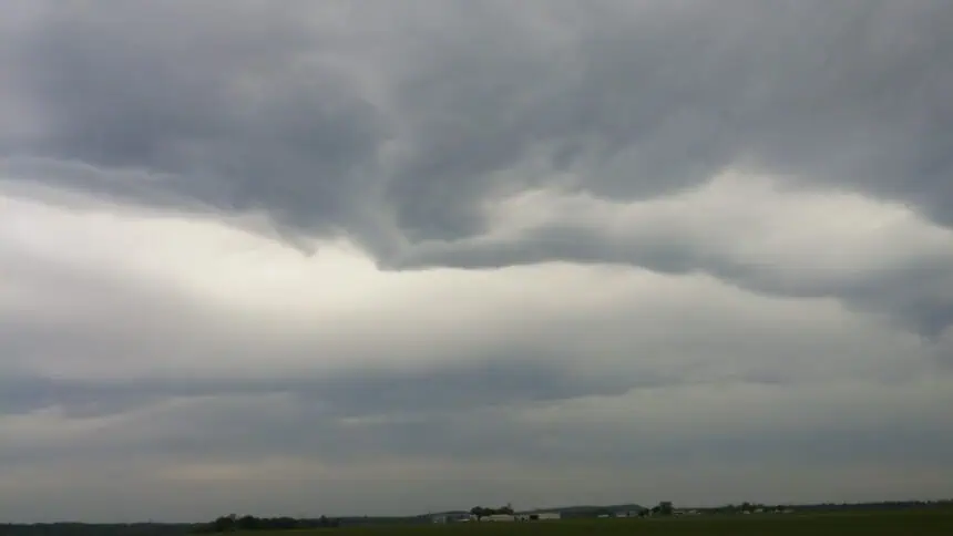

🌩️ Storms overnight across northeastern Kansas
A warm and humid evening is setting the stage for a few scattered thunderstorms across northeastern Kansas tonight. While most of the region will remain dry during the day, isolated storms are likely to develop after sunset. Temperatures are expected to fall into the mid to upper 60s°F (18–20°C) overnight, with partly cloudy skies and a light southeast breeze.
🌤️ Father’s Day starts cloudy, ends sunny and hot
Sunday morning, including Father’s Day, will begin with clouds and scattered showers lingering from overnight storms as they drift southward. Conditions will improve through the day, with sunshine returning by the afternoon. Highs will soar into the upper 80s°F (31–32°C) and may even touch the low 90s°F (32–34°C) in some parts of eastern and southeastern Kansas.
Humidity will noticeably increase, making it feel even warmer by evening.
☀️ Next week: A surge of summer-like heat
Monday will kick off the workweek with sunny skies and temperatures climbing into the 90s°F (32–35°C) across most of the region. This summer-like pattern will persist through at least Tuesday. Expect muggy conditions to stick around, with heat indices pushing even higher in the afternoons.
🌧️ Midweek storms make a return
As we move into Tuesday evening, moisture and instability will return, bringing a renewed chance for isolated thunderstorms. Much of northeastern and east-central Kansas could see scattered showers and brief storms, especially overnight into Wednesday. However, no widespread severe weather is expected at this time.
⏰ Stay weather-aware tonight and into next week, especially with the increase in temperatures and humidity. Keep an eye on the storm track overnight if you’re in Manhattan, Topeka, Lawrence, or the surrounding rural areas.


