

Tuesday, June 17, much of Kansas — including Topeka — is under an enhanced risk for severe thunderstorms, damaging winds, large hail, and isolated tornadoes, according to the National Weather Service.
Severe storms expected in Topeka, Salina, Wichita and surrounding areas
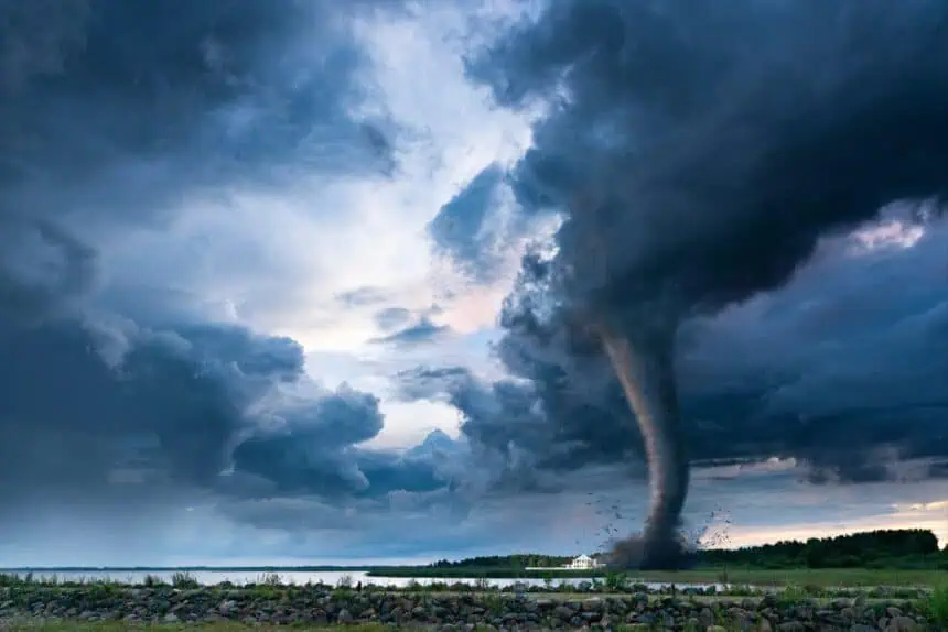
A slow-moving front is expected to develop across the state, creating the right conditions for widespread thunderstorm activity. A graphic from the Topeka weather office highlights the main threats:
Hail larger than 2 inches in diameter (over 5 cm),
Wind gusts of 60 to 70+ mph (between 96 and 113 km/h),
A few tornadoes,
Flash flooding from heavy rainfall.
Cities included in the enhanced risk zone are Topeka, Salina, Hutchinson, Wichita, Manhattan, Lawrence, Holton, and Ottawa.
What “enhanced risk” means for Kansas residents
An enhanced outlook is issued when forecasters have high confidence that numerous scattered severe storms will occur. These storms are likely to produce destructive wind, significant hail, and isolated tornadoes. It’s a step above “slight risk” and reflects a greater potential for impactful weather across central and northeast Kansas.
Marginal risk in the morning, increasing later in the day
During the morning of June 17, a marginal risk is forecast for parts of Hutchinson, Salina, Wichita, Manhattan, and Marysville. Notably, Topeka is excluded from this early phase.
The NWS notes:
“If morning storms end sooner, the atmosphere could recover early enough for storms to redevelop in the late afternoon with all hazards possible.”
But if morning storms linger, the severe weather threat shifts to the evening and overnight hours, with the same risks of damaging wind, large hail, and flooding.
Flash flood potential Tuesday night into early Wednesday
There is a slight chance for excessive rainfall between the evening of June 17 and the early morning of June 18. This may result in flash flooding in north-central, northeast, and east-central Kansas.
Areas most at risk include locations around Topeka, Manhattan, and along the Kansas River corridor.


