


Heavy downpours soaked Minnesota on Monday, June 16
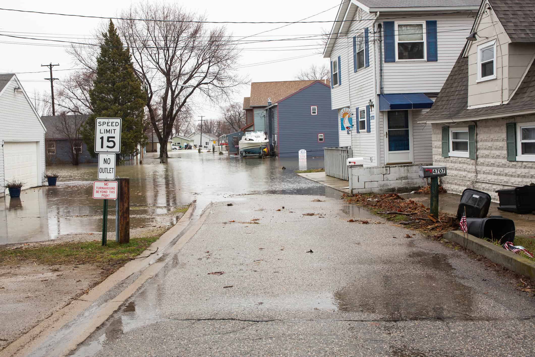
On Monday, June 16, Minnesota was lashed by a series of intense thunderstorms that delivered significant rainfall, particularly across the Twin Cities and parts of northern and central Minnesota. The afternoon saw torrential downpours that flooded streets and sidewalks, causing disruption across Minneapolis and St. Paul.
In the Twin Cities, more than 1.2 inches (30.5 mm) of rain fell in just 15–20 minutes, highlighting the extreme intensity of the event.
Rainfall totals on Monday across Minnesota
By 9 a.m. Tuesday, the Community Collaborative Rain, Hail and Snow Network (CoCoRAHS) reported the following highest 24-hour rain totals for Monday:
- Marble: 4.75 inches (120.7 mm)
- Mountain Iron: 4.58 inches (116.3 mm)
- Ely: 3.95 inches (100.3 mm)
- Iron Junction: 3.91 inches (99.3 mm)
- Plymouth: 3.79 inches (96.3 mm)
- Tower: 3.64 inches (92.5 mm)
- Embarrass: 3.57 inches (90.7 mm)
- Park Rapids: 3.44 inches (87.4 mm)
- Cohasset: 3.37 inches (85.6 mm)
- Minneapolis: 2.20 inches (55.9 mm)
- St. Paul: 1.47 inches (37.3 mm)
Other cities like Biwabik, Aurora, Winton, and Grand Rapids also measured 2.7–3.3 inches of rainfall.
A remarkably wet week from June 10 to June 16
The seven-day period ending Tuesday morning painted a picture of widespread and persistent rainfall, particularly in south-central and western Minnesota, with some regions nearing 9 inches (228.6 mm).
Here are some of the highest weekly totals:
- Raymond: 8.92 inches (226.5 mm)
- Willmar: 8.08 inches (205.2 mm)
- Litchfield: 6.62 inches (168.1 mm)
- Wells: 6.57 inches (166.9 mm)
- Kandiyohi: 6.12 inches (155.4 mm)
- Minneapolis: 4.90 inches (124.5 mm)
- Delano: 5.03 inches (127.8 mm)
- Spicer: 4.98 inches (126.5 mm)
These excessive rain totals over a week have saturated the soil across much of the southern and central regions, increasing concerns for localized flooding, especially in low-lying and poorly drained areas.
As the week continues, residents and emergency services remain on alert for further thunderstorm activity that could exacerbate the already soggy conditions across Minnesota.


