
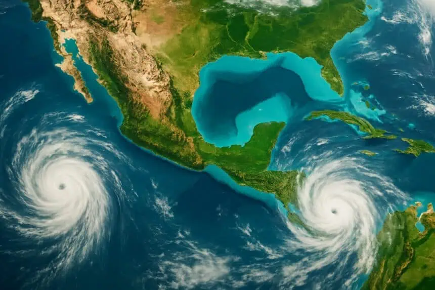
 The tropical outlook around the coasts of Mexico is becoming more active as we move into the final days of June, with two distinct areas of development monitored by the National Hurricane Center (NHC) — one in the eastern Pacific Ocean, the other in the Bay of Campeche, part of the southern Gulf of Mexico.
Tropical wave near the Yucatán may bring heavy rain to Mexico
A newly designated disturbance, Invest 91L, is currently generating widespread thunderstorms across the Yucatán Peninsula, extending into the Gulf of Mexico and the Bay of Campeche. While upper-level conditions are not ideal for rapid intensification, there’s still a slight chance of tropical formation before this system moves inland over eastern Mexico early next week.
Forecast models suggest that Invest 91L will likely come ashore by Monday or Tuesday, bringing with it locally heavy rainfall, especially to Veracruz, Tabasco, and surrounding areas. While this system is unlikely to reach the strength of a hurricane, localized flash flooding and mudslides are possible in areas with poor drainage.
If this disturbance organizes into a named tropical storm, it would take the name Barry, the next on the 2025 Atlantic list.
Pacific storm near southern Mexico may become Flossie
To the south, Invest 95E is showing increased potential for development several hundred miles off the coast of southeastern Mexico, near Oaxaca and Chiapas. This area of disturbed weather is expected to drift slowly northwestward along the Pacific coastline over the next few days.
Current projections indicate that Invest 95E could strengthen into a tropical storm by early next week, potentially earning the name Flossie. Atmospheric conditions are becoming more favorable for gradual development, though the system remains somewhat disorganized this weekend. Confidence in model outputs is still low, in part due to this scattered structure.
Should this system intensify, tropical moisture from it could be drawn northward into the Southwestern United States, feeding into the early monsoon season over parts of Arizona, New Mexico, and even southern California before July 4th. While no direct landfall in the U.S. is anticipated, enhanced humidity and isolated downpours are possible as early as next Wednesday.
Outlook for early July: tropics warming up
The broader setup this weekend shows an uptick in moisture across both the Caribbean and eastern Pacific, signaling the beginning of a more active tropical phase heading into early July. These two systems—91L in the Gulf and 95E in the Pacific—represent the first real signs of the tropical season’s ramp-up, although neither is expected to affect the continental U.S. directly in the coming days.
Updates from the National Hurricane Center will continue throughout the weekend as conditions evolve.


