

Tropics update for Wednesday, July 2, 2025
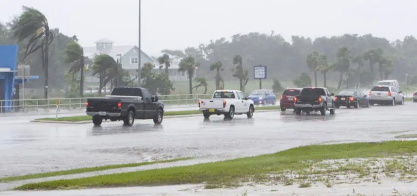
A tropical disturbance continues to draw attention just north of Florida, where a developing low-pressure area is expected to form along a stalled boundary in the southeastern United States. This weather pattern is bringing increasing showers and cloud cover to portions of northern Florida, and could signal the early stages of a tropical system as we head into the holiday weekend.
As of this afternoon, the National Hurricane Center has raised the probability of development to 40% within the next 7 days, up from 20% on Tuesday. This increase highlights the growing potential for a tropical cyclone to emerge over the warm waters off the southeastern coast.
If development occurs, this system could drag a broad moisture plume across Florida, increasing the chances of persistent rainfall from Thursday into Saturday, especially across central and southern areas. The Fourth of July celebrations across South Florida may be affected by widespread showers, gusty conditions, and elevated humidity, with temperatures hovering around 87°F (31°C) during the afternoon hours.
Current models suggest that this disturbance could linger near the Florida Peninsula or gradually shift northeastward, depending on how quickly the system organizes. Regardless of development, wet and unsettled weather is likely for much of Florida into the weekend.
Stay alert to any updates from the National Hurricane Center as this system evolves.


