

Potential tropical system brewing off the coast of Florida
ORLANDO, Florida – As of Thursday evening, July 3, 2025, the National Hurricane Center (NHC) has increased the probability of a tropical disturbance forming off the Southeastern U.S. coast, with the potential to impact Florida through the Fourth of July weekend. The system, now given a 60% chance of development over the next seven days, is already triggering concerns about flooding rain and dangerous storms across Central Florida.
Frontal boundary may stall in the Gulf of Mexico
The latest update from the NHC outlines that a frontal boundary is expected to stall and weaken just off the Gulf Coast. In this environment, a low-pressure area could form, which may develop into a tropical or subtropical system. Current models show a 20% chance of formation within the next 48 hours, rising sharply to 60% by mid-next week.
The region highlighted for potential development includes the waters off the Carolinas, Georgia, and Florida, where conditions remain conducive to storm formation. Ocean temperatures are already hovering in the mid-80s Fahrenheit (around 29 °C), and the wind shear is low—two ingredients favorable for cyclonic growth. The absence of Saharan Dust, which typically acts to dry the atmosphere, is further enhancing the potential for development.
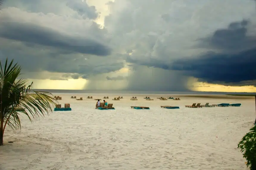
Florida forecast: What to expect Thursday through Saturday
Even if a fully organized tropical system fails to form, the impact on Florida’s weather will be significant. The FOX 35 Storm Team is forecasting daily rounds of thunderstorms, heavy showers, and potentially severe downpours, especially on Thursday, Friday, and Saturday. Some storms may include gusty winds and large hail, particularly during the afternoon peak heating hours.
On Thursday, the chance of rain across Central Florida is around 50%, with greater rain coverage expected across the western peninsula, from Tampa Bay through the Big Bend region, where over 6 inches (about 15 cm) of rainfall may accumulate over several days.
Travel impacts and flooding risk during holiday weekend
The Fourth of July holiday is expected to be marked by unsettled weather, with increased flood risk, especially in urban and low-lying areas. The FOX 35 Storm Team emphasizes the potential for flooding during peak travel times, especially late Friday into Saturday.
Orlando International Airport (MCO) is already bracing for a surge in travelers, with more than 1.4 million passengers expected this week. The three busiest travel days will be Sunday, July 6, Monday, July 7, and Saturday, July 5, with each day seeing well over 165,000 travelers.
Atlantic hurricane season 2025 remains quiet—for now
As of early July, the 2025 Atlantic hurricane season has been remarkably quiet, with an Accumulated Cyclone Energy (ACE) of just 0.2, a figure over 90% below the seasonal average. However, meteorologists stress that this early-season lull does not indicate how the rest of the season will unfold. The peak of hurricane activity typically arrives in mid-September.
The 2024 season ended with 18 named storms, including 5 hurricanes, 3 of which made landfall in Florida, 2 as major hurricanes. The official 2025 hurricane season began on June 1 and will run through November 30.
Real-time weather monitoring for Central Florida
Stay updated as conditions change using the FOX 35 Storm Tracker Radar, which offers live coverage of storm activity moving across Brevard, Flagler, Lake, Marion, Osceola, Orange, Polk, Seminole, Sumter, and Volusia Counties, along with access to national radar data.
As Fourth of July events ramp up across the Sunshine State, meteorologists will continue to monitor this evolving situation closely.


