
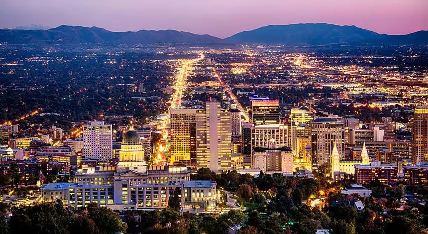

SALT LAKE CITY, Utah — Thunderstorms are expected to affect outdoor celebrations across Utah as the Independence Day weekend begins. While the state will enjoy some breaks of sun, intermittent rain, gusty winds, and brief heavy downpours are on the radar—especially across northern and southern Utah.
Thursday: Cloudy skies and scattered storms
Throughout Thursday, skies across Utah will remain mostly cloudy, with scattered thunderstorms developing as the day progresses. Some light rain was already recorded during the morning in parts of the state.
By afternoon, southern Utah is likely to experience stronger storm activity, while northern Utah may see isolated thunderstorms in the evening hours. These storms are capable of producing brief heavy rainfall, microburst winds, and gusty conditions. The risk of flash flooding remains possible to likely in flood-prone recreational areas across central and southern Utah.
Friday, July 4: Afternoon storms threaten Wasatch Front plans
Independence Day will begin with dry conditions across the entire state. However, by the afternoon, a weak atmospheric disturbance sweeping through the northern half of Utah could trigger scattered showers and thunderstorms, especially over the Wasatch Front.
The timing of these storms will be crucial. Between 2 p.m. and 7 p.m., outdoor gatherings, including parades, barbecues, and patio events, may face disruptions due to localized downpours and wind gusts. Fortunately, most storms are forecast to dissipate before the fireworks begin during the evening.
Saturday and Sunday: Sunshine returns, heat builds
The weekend will bring a shift in the pattern, as drier air and a ridge of high pressure move over the region. Expect sunny skies statewide on Saturday and Sunday.
Temperatures will climb steadily, with northern Utah reaching the mid-90s Fahrenheit (35 °C) by Sunday, and southern Utah peaking between 103°F and 105°F (39°C to 41°C). Even hotter conditions are expected to develop as the next week begins.


