

Potential tropical system may strengthen off the Florida coast
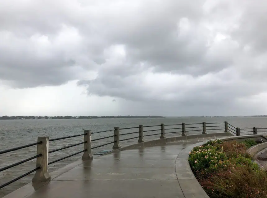
JACKSONVILLE, Florida – A developing area of low pressure, labeled Invest 92L, has formed just off the northeast coast of Florida, near Jacksonville, and is currently being monitored closely by meteorologists. This system could evolve into a tropical depression or weak tropical storm over the Atlantic Ocean during the holiday weekend, bringing heavy rainfall and strong winds to parts of the South Carolina coast, particularly from Saturday night through Sunday.
According to Frank Strait, severe weather liaison at the South Carolina State Climate Office, the storm’s forward motion has slowed since earlier forecasts. This slower movement means the disturbance may remain over warm ocean waters longer, increasing the chance of intensification before it makes its way northward. Forecast models now suggest impacts to South Carolina could begin later than initially expected, likely Saturday evening and continuing into Sunday.
The National Hurricane Center has confirmed that an Air Force Reserve Hurricane Hunter aircraft will fly into the system Friday afternoon to gather additional data and help refine the forecast.
Rainfall amounts could increase
The additional time over open water could enhance rainfall across the region. The latest forecasts from the National Weather Service indicate that Hilton Head Island could receive between 1 and 2 inches (25 to 50 mm) of rainfall from Friday through Sunday evening, depending on how the system organizes.
Winds and rip current threat on the rise
While the threat of tropical-storm-force winds—defined as sustained winds above 39 mph (63 km/h)—appears limited mainly to coastal waters and beaches, conditions remain fluid and will depend on how the system develops. Areas closest to the Atlantic shoreline, especially along the South Carolina Lowcountry, should remain alert to changing conditions.
A moderate rip current risk is in effect for Friday, particularly along exposed coastlines. This risk increases to high on Saturday, with hazardous surf and dangerous swimming conditions expected to persist through the weekend and possibly into early next week.
The system is not yet named, and tropical storm watches or warnings have not been issued as of this Friday morning in New York (ET). However, the NOAA satellite imagery and forecast guidance are being updated frequently as Invest 92L remains under active observation.


