

Severe thunderstorms are making an early appearance this Fourth of July, bringing dangerous weather conditions across northern Minnesota and the eastern Dakotas. As of 2:00 p.m. local time, the National Weather Service has issued a severe thunderstorm watch stretching from eastern North Dakota and eastern South Dakota all the way through the northern third of Minnesota. This watch will remain in effect until 9:00 p.m. (CDT).
Cities under the threat include Fargo, Grand Forks, Bemidji, Brainerd, Grand Rapids, and Duluth.
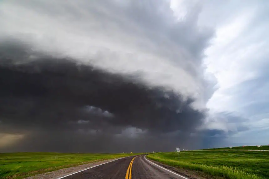
According to the NOAA’s Storm Prediction Center, the storms are forming along a cold front currently arcing across northern Minnesota, eastern North Dakota, and north-central South Dakota. Conditions are becoming increasingly favorable for widespread severe weather, with the most intense storms developing through the afternoon and evening hours.
These storms may produce hail up to two inches in diameter, wind gusts reaching 70 mph (113 km/h), and frequent cloud-to-ground lightning. While the primary threat remains damaging winds, forecasters caution that isolated very large hail could form—especially over north-central and northeastern Minnesota. There is also a low but non-negligible risk of one or two tornadoes, particularly in the most vigorous storm cells.
The HRRR weather model suggests a broad expansion of thunderstorm coverage beginning around 3:00 p.m. and potentially lasting through 3:00 a.m., as the front progresses eastward across the region.
These developing weather conditions could disrupt Fourth of July festivities, especially outdoor celebrations and travel across the Upper Midwest.


