

Saturday morning storms – What to expect near Minneapolis
MINNEAPOLIS – After a hot and humid Fourth of July with heat indexes near 100°F (38°C) and a Heat Advisory in place for much of southern Minnesota, conditions will shift overnight as a storm system approaches from the west.
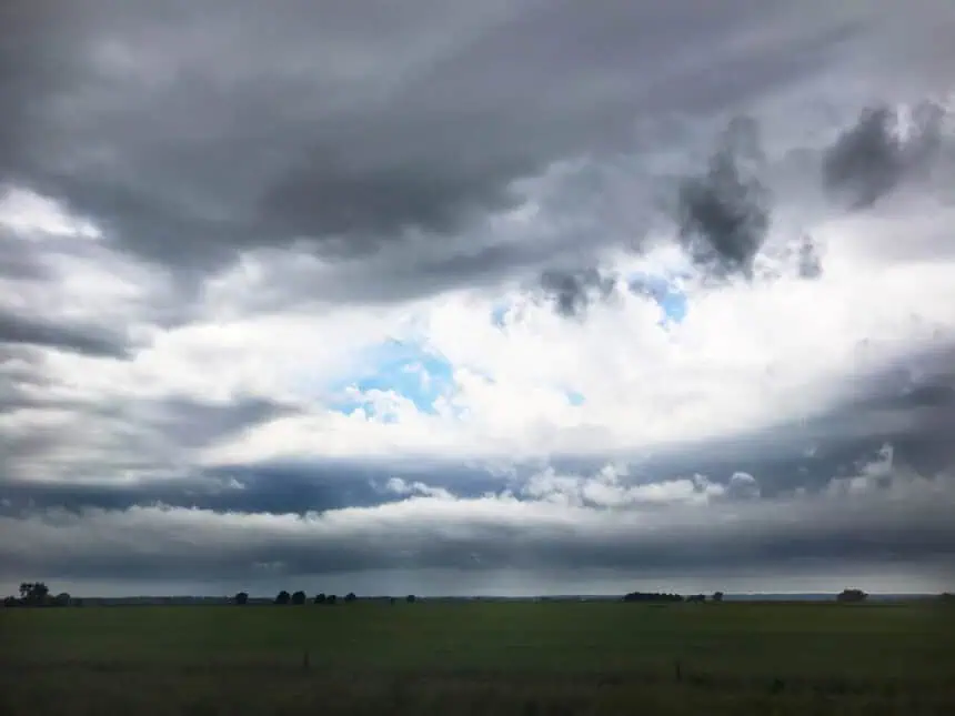
Most of the overnight hours will remain dry in the Twin Cities, offering clear skies for fireworks displays. However, FOX 9 meteorologist Cody Matz warns that thunderstorms are expected to arrive just before sunrise on Saturday, especially in areas around Minneapolis and St. Paul.
At this point, it’s uncertain whether the incoming storms will reach severe levels. However, early indicators suggest moderate rainfall and possible thunderstorm activity across southern and central Minnesota.
Saturday morning will feel wet and unsettled as showers and storms move through, but conditions are expected to improve by early afternoon, allowing for clearer skies later in the day.
Sunday – What’s next for Minnesota
By Sunday, the entire state will experience drier and more comfortable conditions, with sunshine, lower humidity, and highs in the low 80s°F (around 27°C). After a stormy start to the weekend, it will feel like a true summer day across Minnesota.


