

Billings, Montana — After a stormy Fourth of July with natural fireworks lighting up the skies across Montana and Wyoming, another wave of active weather is heading toward the Billings area this Saturday afternoon and evening.
The first round of showers and thunderstorms swept through on Friday, bringing scattered rainfall and occasional lightning. While a second batch is expected this evening, it is not likely to interfere with most fireworks displays. However, it’s always wise to watch the skies closely, especially during changing summer weather in the northern Rockies.
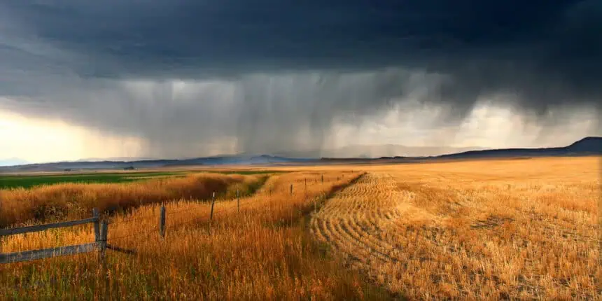
Looking ahead to Saturday, the weather pattern intensifies. After a short-lived morning break, another surge of rain and thunderstorms is forecast to sweep over Montana and northern Wyoming during the afternoon and evening hours. These storms are more likely to reach strong to severe levels, carrying risks such as gusty winds, heavy downpours, and hail. If you’re traveling or attending outdoor events during the midpoint of the extended holiday weekend, be especially alert to rapid weather changes.
Sunday is expected to bring calmer conditions, with more typical early July weather for both Montana and Wyoming. Temperatures will start to climb steadily next week as a ridge of high pressure strengthens over the region. Expect a mix of sun and clouds, with highs climbing into the low 90s (around 32–34°C) by midweek. More showers and thunderstorms are likely to return by next Friday, continuing the active summer monsoon rhythm.
Stay weather-aware, especially if your weekend plans take you outdoors across the plains, valleys, or foothills of southeastern Montana and northern Wyoming.


