
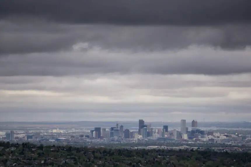

DENVER — After yet another hot summer day in the Mile High City, big weather changes are on the way. A cold front will sweep across Colorado late Tuesday night into Wednesday, bringing a sharp drop in temperatures, widespread rain, and the threat of severe storms, especially during the afternoon and evening hours.
It was the 21st day this year with highs hitting at least 90°F (32°C) in Denver, but that streak will pause midweek. According to Denver7 Chief Meteorologist Lisa Hidalgo, temperatures will start off around 61°F (16°C) early Wednesday, with more clouds and a chance for light showers in the morning.
“Overnight, we’ll be tracking a cold front, and that’s going to bring down our temperatures quite a bit tomorrow,” Hidalgo said Tuesday evening. “We could wake up to sprinkles in the metro, and it’ll feel noticeably cooler by sunrise.”
Storm chances increase through the day
By the afternoon, conditions across the Denver metro area will grow more unstable. Scattered showers and thunderstorms are expected to develop, and some could become strong to severe, especially along the I-25 corridor and into the nearby Foothills.
“The better chance for wet weather moves closer to Denver Wednesday afternoon and evening,” Hidalgo said. “Some storms could bring heavy rain, gusty winds, and quick temperature drops into the 60s (15–20°C) by the evening commute.”
In their morning briefing, forecasters at the National Weather Service office in Boulder described the pattern as “intriguing,” noting a cold front and upper-level disturbance will combine to bring widespread precipitation and a brief cool down through Wednesday and Thursday. Localized heavy rainfall is possible.
As of early Tuesday, no official watches or warnings had been issued, but meteorologists at Denver7 have declared a Weather Action Day for Wednesday to account for the increased risk of disruptive weather.
Cooling trend continues into Thursday
After Tuesday’s heat, highs on Wednesday will top out near 82°F (28°C) before falling behind the front. Thursday will be slightly warmer — around 86°F (30°C) — with more scattered storms likely during the afternoon.
By Friday, heat is expected to return to the Front Range, with highs climbing back into the low 90s (32–34°C) and staying there into the weekend.


