

Heavy heat, tropical moisture and possible flooding ahead in Louisiana
Wednesday, July 16, 2025 – Baton Rouge, Louisiana – A Heat Advisory is currently in effect from 10:00 a.m. to 7:00 p.m. local time across a broad portion of southeastern Louisiana, covering East Baton Rouge, West Baton Rouge, Ascension, Iberville, East Feliciana, Livingston, Pointe Coupee, St. Helena, St. James, Tangipahoa, and West Feliciana Parishes, as well as Amite and Wilkinson Counties in Mississippi.
Feels-like temperatures will soar between 105°F and 110°F (40°C–43°C) during the afternoon hours. With oppressive humidity and intense sunshine, heat stress will remain a concern across urban centers, rural communities, and inland parishes alike.
Today’s forecast: one last round of classic summer heat
Wednesday will mark the final day of the familiar July heat pattern before a shift in the atmosphere unfolds. Highs will top out in the mid-90s°F (around 35°C) under a mix of sun and building clouds. As deep tropical moisture surges inland from the Gulf of Mexico, scattered afternoon thunderstorms may begin to pop up, particularly after 2 p.m. Localized downpours are possible, especially near I-10 and coastal parishes.
Overnight, expect very warm and muggy conditions, with lows hovering in the mid to upper 70s°F (24°C–26°C). Rain chances will steadily increase, setting the stage for what could become a prolonged wet pattern.
Flood watch issued for southern Louisiana through Friday night
The National Weather Service has placed a large portion of south Louisiana under a Flood Watch from Wednesday afternoon through late Friday night. Affected areas include East Baton Rouge, West Baton Rouge, Ascension, Assumption, Iberville, East Feliciana, Livingston, Pointe Coupee, St. Helena, St. James, Tangipahoa, and West Feliciana Parishes.
The combination of tropical humidity, slow-moving showers, and training thunderstorms could result in rainfall totals between 2 to 5 inches (50–125 mm) through the weekend. However, locally heavier rainfall nearing 10 inches (254 mm) will be possible, especially near the coast and southernmost parishes, where rain bands may stall and repeatedly pass over the same zones.
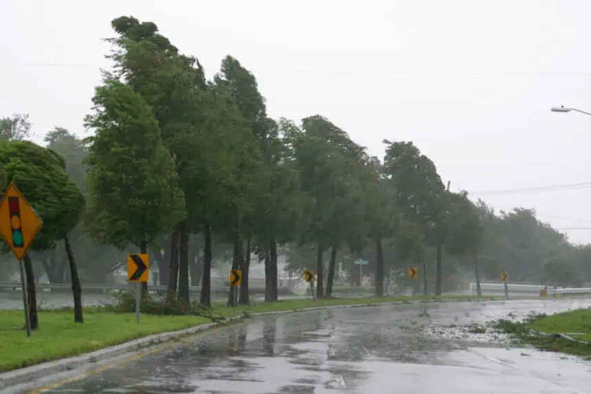
Flash flooding will be a real concern, particularly in urbanized areas, low-lying roads, and regions with poor drainage. This tropical setup is notoriously unpredictable, and the exact location of the heaviest rainfall remains uncertain.
Tropical disturbance approaching the Gulf Coast
A broad low-pressure system—currently drifting westward across the Florida Panhandle—continues to produce disorganized thunderstorms primarily on its southern flank. This tropical disturbance is expected to move into the northeastern to north-central Gulf of Mexico later tonight or Thursday. If it stays far enough offshore, environmental conditions over the Gulf appear marginally favorable for the system to become better organized.
A tropical depression could still form before landfall late this week, but whether or not the system develops a name, its moisture plume will significantly impact southern Louisiana’s weather. Regardless of classification, the tropical wave will act like a sponge—pulling deep Gulf moisture into the region and wringing it out over the same territories for several days in a row.
Rainfall will intensify late Wednesday and continue through Thursday, Friday, and likely into the early weekend, with flash flooding risk extending across the north-central Gulf Coast.
Stay connected for real-time alerts and updated forecasts as this tropical setup evolves.


