

Thursday, July 17, 2025 – New York Time (EDT)
Tropical Storm Dexter may be forming in the Gulf of Mexico, and meteorologists are closely watching its evolving path as it moves westward from Florida, with Southern Louisiana increasingly in its sights. As of this Thursday morning, new forecast models and satellite data show a higher potential for the disturbance—Invest 93L—to organize into a named system in the next 24 to 48 hours.
Latest models show westward track along Gulf Coast
A cluster of spaghetti models, shared by meteorologist Dylan Federico on X (formerly Twitter), now suggest a more consolidated westward path from the Florida Panhandle, hugging the Gulf Coast and reaching Louisiana by Friday.
“NEW MODELS bring Invest 93L straight into Louisiana on Friday,” Federico wrote on Wednesday night. “Keep in mind if the center reforms south tonight, so will the models. A track further offshore would mean it’s more likely this gets named Dexter. I still think a tropical storm is the ceiling.”
The National Hurricane Center (NHC) confirmed early Thursday that Invest 93L is currently producing disorganized showers and thunderstorms primarily south of its center as it crosses the Florida Panhandle. The system is expected to continue moving westward, with potential to reorganize over the northeastern and north-central Gulf of Mexico by late Thursday or early Friday.
Conditions in the Gulf remain favorable for development
According to the NHC, if Invest 93L remains far enough offshore, environmental conditions—including warm sea-surface temperatures, light wind shear, and ample mid-level moisture—could allow for additional development.
As of this morning’s update, the probability of tropical cyclone formation stands at 40 percent for both the next 48 hours and the next 7 days.
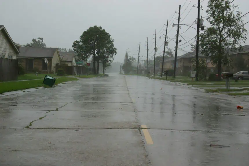
“A low-pressure area (Invest 93L) could emerge over the far northeastern & north-central Gulf, approaching Louisiana on Thursday,” the NHC stated. “Regardless of development, heavy rainfall and flooding is the primary hazard from Central Florida westward through parts of Louisiana.”
Forecasters see increasing threat of flooding in Southern Louisiana
Meteorologist Chris Mulcahy noted on X: “Dexter seeming like more of a possibility over the next two days. Developing in the Gulf west of Florida and then potentially making landfall around Southern Louisiana. A lot can still change, but already parts of Louisiana have a high risk for flooding rain!”
AccuWeather meteorologist Dan Pydynowski warned on Monday that the system could become nearly stationary near Southeastern Louisiana, leading to localized downpours and potential flash flooding. Even if it fails to develop into a tropical depression or tropical storm, the moisture-rich environment remains a concern.
“We feel there is still a flooding risk due to heavy rainfall, even if this system fails to develop into a tropical cyclone,” said Pydynowski.
Atlantic hurricane season enters mid-July active phase
The 2025 Atlantic hurricane season has already produced three named storms—Andrea, Barry, and Chantal. The most recent, Chantal, brought intense flooding and damaging rain to parts of North Carolina earlier this July.
With Invest 93L potentially becoming Tropical Storm Dexter, the season is gaining momentum as it moves into its historically most active months. The Eastern Pacific hurricane season, which began on May 15, also continues through November 30.
Meteorologists across the Southeast and Gulf Coast will continue to monitor Dexter’s potential development and trajectory closely throughout the next 24–72 hours, particularly as models adjust in real time.


