
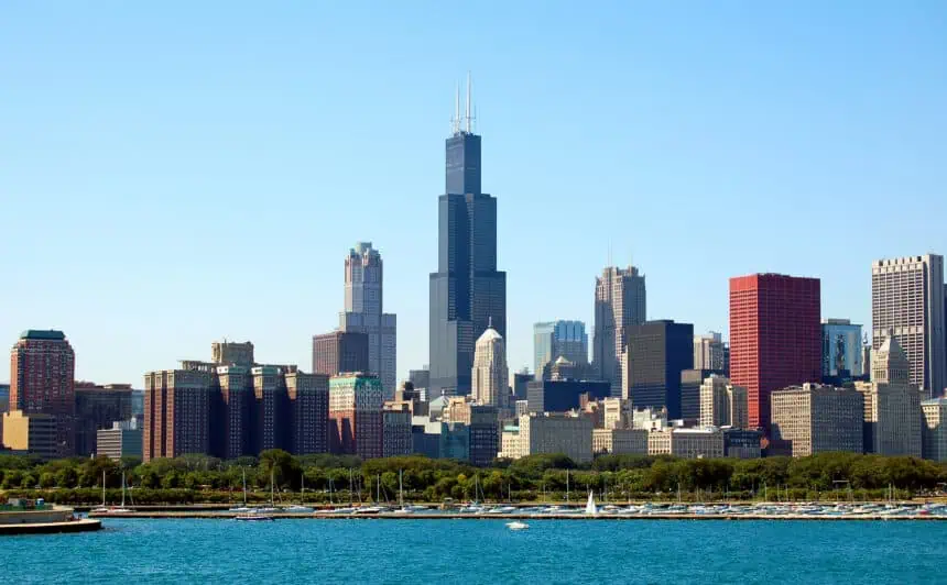

Wednesday, July 16, brought a wave of strong-to-severe thunderstorms across the Chicago area, with powerful winds, hail, and heavy rain knocking out power and triggering delays at both major airports.
A tornado watch was in effect for Kenosha County until 7 p.m., while severe thunderstorm warnings were issued across northern Illinois and northwest Indiana as storms swept through the region. The National Weather Service reported widespread wind damage, with gusts topping 60 mph (97 km/h) in parts of DuPage and Cook counties.
The storms rolled in during the afternoon hours, bringing intense lightning, heavy downpours, and enough wind to down trees and power lines. Thousands of residents were left without electricity. At O’Hare and Midway airports, ground stops were temporarily issued as the storms passed through, disrupting flights and creating ripple effects across the national air traffic network.
By early evening, the strongest cells had pushed out of the area, prompting the cancellation of the earlier severe weather watches. While some localized flooding was reported, especially in low-lying areas, the overall storm risk began to diminish.
Looking ahead, conditions are expected to improve dramatically on Thursday, July 17. As the low-pressure system responsible for the storms moves out, cooler and drier air will settle in. Forecast highs are expected to reach only the mid-to-upper 70s°F (24–26°C), offering some relief from recent humidity.
You can stay updated with the latest local weather developments by tuning in to the NBC 5 Chicago News streaming channel, available 24/7 on Peacock, Roku, Samsung, Xumo, and through the NBC 5 app.


