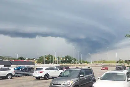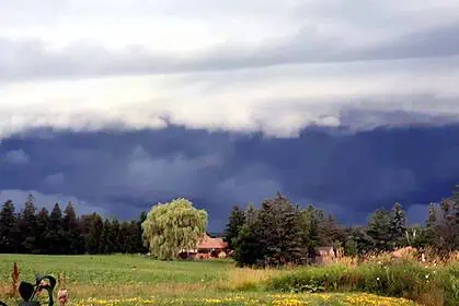



Afternoon and evening thunderstorms possible across Alberta
Today, Tuesday, June 17, a new round of unsettled weather is developing across Alberta, with the potential for thunderstorms bringing large hail—up to the size of a toonie (3 cm / 1.2 in)—and wind gusts between 70 and 90 km/h (43–56 mph).
According to Environment and Climate Change Canada (ECCC), the Storm Prediction Centre highlights two primary zones of concern: the Foothills region to the west, where a thermal ridge is building against the terrain, and a separate zone in northern Alberta linked to a thermal trough.
Moderate thunderstorm risk for Edmonton and Edson, minor threat elsewhere
A moderate risk zone extends from the Edmonton area west to Edson and eastward toward the Saskatchewan border, with conditions favourable for strong winds and hail between 1 and 3 centimetres (0.4–1.2 inches). These storms are expected to be less intense than Monday’s outbreak, with widespread severe weather not currently anticipated.
Surrounding this core zone, several heavily populated areas, including Medicine Hat, Grande Prairie, High Level, and Red Deer, fall under a minor thunderstorm threat, where hail up to 1 centimetre (0.4 in), gusts to 70 km/h (43 mph), and rainfall amounts of 30 to 50 millimetres (1.2–2 in) may occur.
Smoke and fog lingering in northern Alberta
In addition to convective activity, the outlook notes that smoke remains an issue west of High Level, likely tied to ongoing wildfire activity. Fog patches are also expected to form again overnight, especially in low-lying and northern areas.
Storm risk continues tonight across north–south Alberta
Tonight, the minor thunderstorm threat shifts across central Alberta, with a corridor from Peace River to Red Deer, including Edmonton, where storms may bring gusts up to 70 km/h (43 mph) and 20 to 30 mm (0.8–1.2 in) of rain.
Wet week ahead for both Calgary and Edmonton
Looking ahead, the seven-day forecast suggests a persistently unsettled pattern for both Calgary and Edmonton, with several days expected to bring showers or periods of rain. This marks the continuation of a wetter stretch that may help ease dry conditions but could also trigger localized flooding in prone areas.
Updates will continue to be issued by the ECCC Storm Prediction Centre in Edmonton.