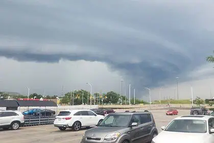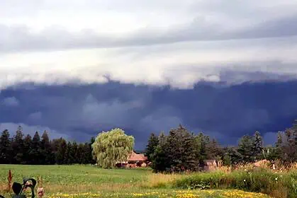

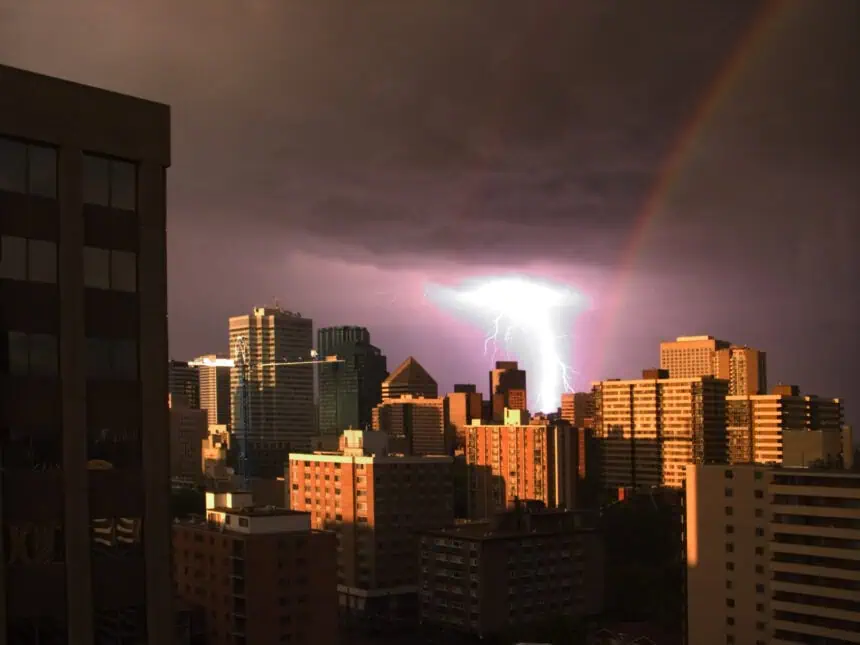

OTTAWA, Saturday, July 20, 2025 – New rounds of powerful thunderstorms are once again stirring across Alberta and Saskatchewan this Saturday afternoon, driven by a deepening low-pressure system sweeping across the Western Prairies.
The severe weather threat is set to intensify through the second half of the day, with strong to violent storms expected to erupt especially across Southern Alberta and Southern Saskatchewan. Areas like Assiniboia, Regina, and neighbouring towns should brace for unstable atmospheric conditions, particularly between late afternoon and evening.
This unstable setup, combined with an approaching cold front, will trigger supercells capable of unleashing large hail, intense downpours, and damaging wind gusts exceeding 90 km/h (56 mph). Meteorologists are also closely monitoring a possible tornado risk developing after sunset in parts of the Prairies.
By evening, as the centre of the low-pressure system settles over Southern Alberta, expect these scattered storms to rapidly organize into a squall line, likely advancing into Southern Saskatchewan overnight. Initially, hail will dominate the threats, but as the cells merge, the focus will shift to violent straight-line winds.
Localized rainfall could provide some relief to drought-stricken regions. Between Calgary and Red Deer, projections suggest 20 to 30 mm (0.8 to 1.2 inches) of rainfall, while Southern Saskatchewan could accumulate 10 to 20 mm (0.4 to 0.8 inches) by Sunday morning.
Thunderstorm activity is likely to ignite in the Alberta foothills early in the afternoon, with isolated cells that may turn severe as they shift eastward. By the time they reach Southern Saskatchewan, conditions will favour widespread development of strong convective storms.
Residents across both provinces are strongly encouraged to stay informed through local alerts and weather updates as conditions evolve rapidly through the afternoon and into the night.