

Strong overnight storm threat for central and northern Alabama
Alabama is currently under a widespread severe weather threat, especially across the central and northern regions, where tornadoes, damaging winds, large hail, and flooding rainfall are possible through the overnight hours of Tuesday into early Wednesday.
The Storm Prediction Center has issued an enhanced Level 3 risk (on a 5-point scale) for areas including Tuscaloosa, Birmingham, Huntsville, Gadsden, and Talladega. A slight Level 2 risk stretches across parts of central and northwest Alabama, affecting cities like Montgomery and Auburn. Meanwhile, Florence and surrounding areas in the northwest corner have been downgraded to a marginal Level 1 risk. The southernmost counties, such as Troy and Greenville, also face a Level 1 threat, while extreme south Alabama remains outside the severe threat zone.
Multiple tornado warnings and active watches Tuesday night
As of late Tuesday night, severe storms were actively moving through east and central Alabama. Multiple tornado warnings were issued by the National Weather Service offices in Huntsville and Birmingham, especially affecting north Alabama, including Limestone, Madison, Colbert, Jackson, and Lawrence counties. Reports of storm damage have surfaced from these regions.
Although the tornado watch for north Alabama expired by 10:45 p.m., central Alabama remained under an active tornado watch until 1 a.m. Counties still under watch at that time included Bibb, Blount, Calhoun, Cherokee, Clay, Cleburne, Etowah, Greene, Hale, Jefferson, Pickens, Shelby, St. Clair, Sumter, Talladega, and Tuscaloosa.
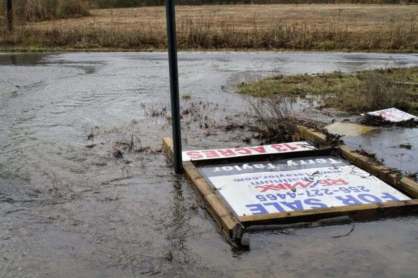
Forecasters continue to warn that winds could reach near hurricane strength, and a strong tornado remains possible. Heavy rainfall could also cause localized flash flooding, particularly in areas with already saturated ground.
Storms moving east and south into the overnight hours
The line of storms is expected to push southward and eastward, affecting eastern Alabama into the early morning hours of Wednesday. As these storms advance, they are anticipated to gradually weaken in intensity. The front driving the system will eventually move through, leading to cooler temperatures beginning Wednesday morning.
Weather radio outages during critical storm hours
Complicating the situation, the National Weather Service in Birmingham is conducting a long-scheduled software upgrade, which will leave NOAA weather radios offline across central Alabama through Wednesday. Transmitters affected include several central Alabama broadcast points, though no other parts of the state are impacted.
Residents are strongly encouraged to have backup alert systems such as weather apps, TV, radio, online services, or to stay connected with weather-aware friends or family.
No further severe threats expected after Wednesday morning
Once this overnight severe weather system exits, Alabama is expected to experience a break from dangerous storms, with no severe threats forecast for the remainder of the week. Cooler air will settle in behind the front, marking a notable change in weather pattern across the state.


