

A soggy week begins across the Chicago area
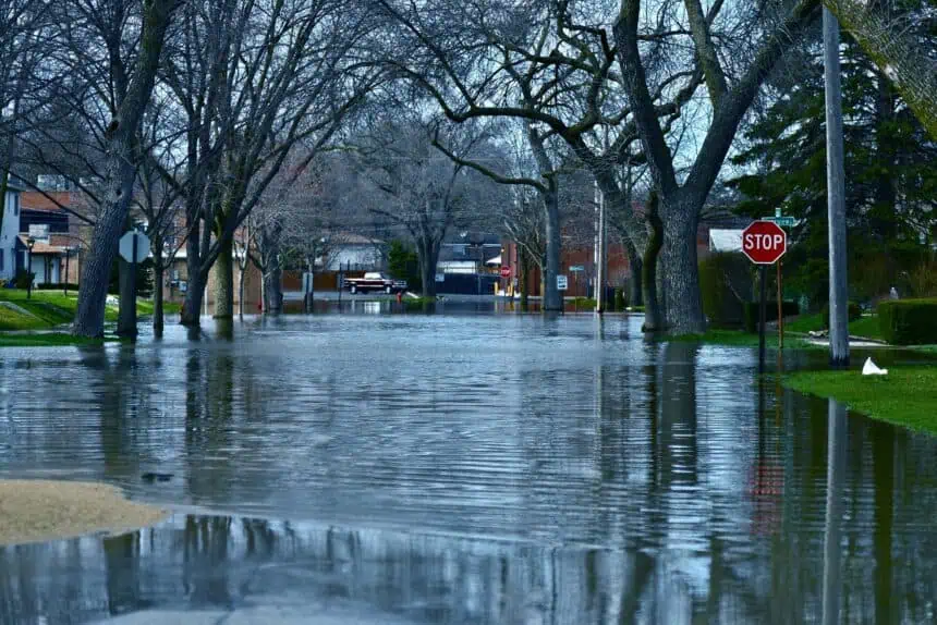
CHICAGO – A prolonged period of rain is beginning across Chicagoland, with the first wave of showers arriving late Monday night, ushered in by a low-pressure system sweeping across the region. As the system moves through, it will bring persistent rain and the chance for thunderstorms, primarily concentrated through Tuesday and Wednesday, keeping conditions unseasonably cool.
Storms intensify Tuesday, especially south of I-80
By Tuesday morning, commuters can expect heavy rain to make travel difficult, with temperatures starting in the upper 40s Fahrenheit (around 9°C). During the afternoon and evening, atmospheric instability could allow for the development of thunderstorms, particularly south of Interstate 80. The Storm Prediction Center has issued a Marginal Risk designation for those areas, suggesting the potential for a few stronger storms, possibly with gusty winds or brief downpours.
Chilly highs and lingering showers midweek
Rain showers will remain scattered but present into Wednesday, with high temperatures struggling to reach the mid-50s Fahrenheit (around 12°C). Conditions will feel damp and chilly, more typical of early spring than late May.
Brighter skies and a slow warm-up toward Memorial Day
Thursday brings a noticeable improvement, with partly sunny skies and highs in the upper 50s Fahrenheit (around 14–15°C). The warming trend continues into Friday, which is expected to stay dry and partly cloudy, with highs near 60°F (16°C).
The Memorial Day weekend forecast shows continued improvement, with Saturday through Monday seeing highs in the low to mid-60s Fahrenheit (17–18°C). While most of the weekend should remain pleasant, there’s a slight chance of isolated showers on Memorial Day itself.
Stay tuned to local updates as forecast models evolve, especially for Tuesday’s potential storms and any changes to holiday weekend conditions.


