

A cool start to the week in San Francisco
This Memorial Day began with gray skies and chilly winds across San Francisco, making it a perfect morning for a windy sail across the Bay or a ride on the SkyStar Wheel at Fisherman’s Wharf. With highs only in the upper 50s to low 60s (around 14–17 °C) and gusts reaching 35 mph, it’s a brisk beginning. Areas like the Mission District and Potrero Hill may briefly enjoy some afternoon sunshine, while the western neighborhoods remain cloud-covered. Tuesday promises a bit more sun and a slight temperature bump, but coastal areas will still feel quite brisk.
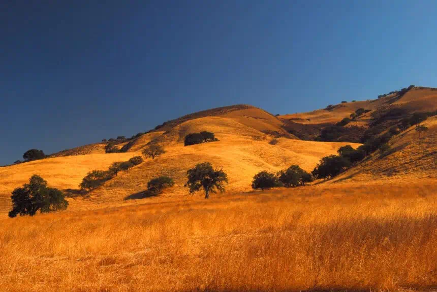
The heat builds inland by midweek
While the coast remains cool, a dramatic warming trend is taking shape inland. Starting Wednesday, a broad ridge of high pressure will strengthen across the Western U.S., triggering unseasonably hot conditions from Central California to Alberta. This ridge is part of a larger, highly amplified jet stream pattern, with a cutoff low developing over Southern California, signaling a chaotic upper-atmospheric setup.
By Thursday, cities such as Livermore, Napa, and Concord will begin to feel the heat, pushing well into the 90s (32–37 °C) and likely staying there into the weekend. Meanwhile, coastal zones will remain stuck in the 60s and 70s (16–24 °C), with the marine layer firmly in place over San Francisco and surrounding shoreline areas.
Friday could challenge May heat records
Friday is expected to bring the most intense heat, especially across the Central Valley. Redding is forecast to reach a scorching 107 °F (41.7 °C), just 2 degrees short of its all-time May record. Sacramento may top out at around 105 °F (40.6 °C). This spike in temperature could extend into the East Bay and North Bay, reaching areas not typically associated with such extreme heat at this point in spring.
Some weather models hint at brief offshore winds developing on Friday, which could drive inland heat toward the coast, increasing the risk of fire weather. This sharp inland-coastal temperature gradient is common in late May, but the unstable upper-air pattern makes predictions challenging. The cutoff low and wavy jet stream may even trigger tropical activity, adding another layer of uncertainty.
Regional forecasts for Monday and Tuesday
North Bay: Expect clouds in the south, with clearing north of Santa Rosa. Coastal highs will stay in the low 60s (16–17 °C), while inland zones like Napa and Novato may reach the mid-70s (around 24 °C). Winds through the Petaluma Gap could gust up to 30 mph. Tuesday warms into the upper 70s (25–26 °C) inland, with clearer skies overall.
East Bay: Memorial Day brings marine stratus clouds along I-80, clearing by late morning. Expect highs from the upper 60s (20 °C) near the Bay to around 80 °F (27 °C) inland. Tuesday heats up further, with Concord and Walnut Creek reaching the low-to-mid 80s (28–29 °C).
Pacific Coast and Peninsula: A deep marine layer keeps areas like Half Moon Bay and Pacifica in the upper 50s (14–15 °C) with potential drizzle in the hills. Redwood City and San Mateo may see partial clearing and mid-60s (18–19 °C). Tuesday brings modest warming, reaching upper 60s to mid-70s (20–24 °C) inland.
South Bay and Santa Cruz: San Jose, Cupertino, and Milpitas will warm to the mid-to-upper 70s (24–26 °C) Monday. Santa Cruz will stay cooler but still pleasant in the low 70s (21–22 °C). By Tuesday, San Jose will push into the low 80s (27 °C) under sunnier skies.
This week marks California’s first significant heat event of the year, not quite a formal heat wave, but close. Expect record-challenging temperatures inland, persistent coastal fog, and increased fire weather concerns through the end of the week.


