

Severe thunderstorm warning until 9 p.m. in Central Virginia
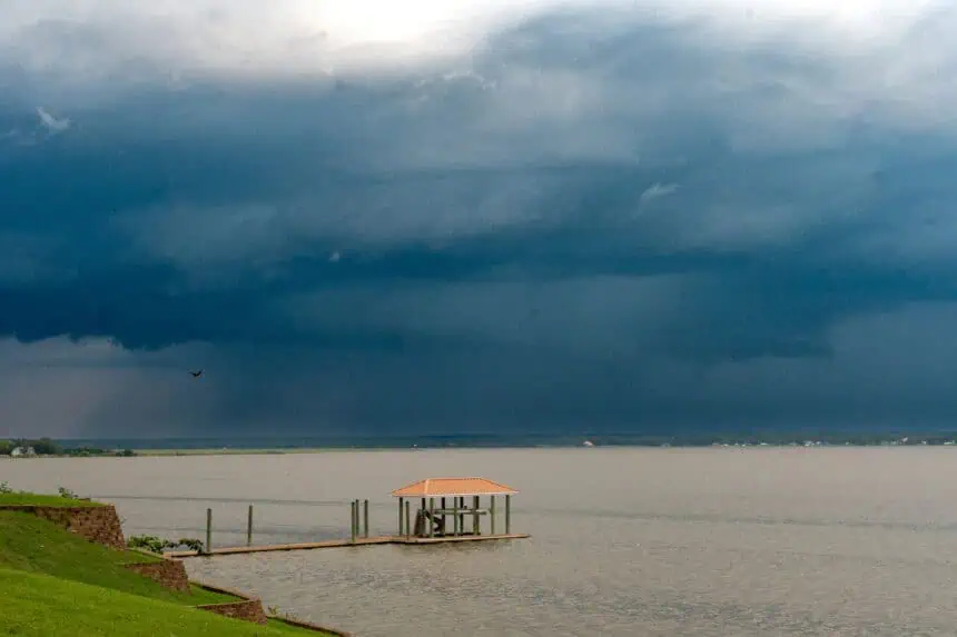
A severe thunderstorm warning has been officially issued for several Central Virginia counties this Friday, May 30, and will remain in effect until 9:00 p.m. local time. The National Weather Service confirmed that powerful storm cells have developed in the area and are expected to bring dangerous weather conditions throughout the early evening hours.
The impacted counties include Charles City, Lancaster, King and Queen, Middlesex, New Kent, Northumberland, and Richmond. Residents in these regions should remain especially alert, as the storms are either occurring or imminent and may rapidly intensify.
The primary threat comes from wind gusts reaching up to 60 mph (97 km/h). These intense winds can cause significant damage to trees, utility poles, and infrastructure, potentially leading to power outages and blocked roadways.
Local weather radar indicates well-defined thunderstorm activity across the region, with frequent lightning and the potential for isolated hail events. Storm development is being fueled by a combination of humid air masses, surface heating, and upper-level disturbances moving eastward.
Conditions are expected to gradually improve overnight, but residual showers and gusty breezes may linger into Saturday morning, particularly near the Chesapeake Bay and the Northern Neck.
Stay tuned for real-time updates from the National Weather Service in Wakefield, and monitor local alerts if you’re in or near any of the affected counties.


