
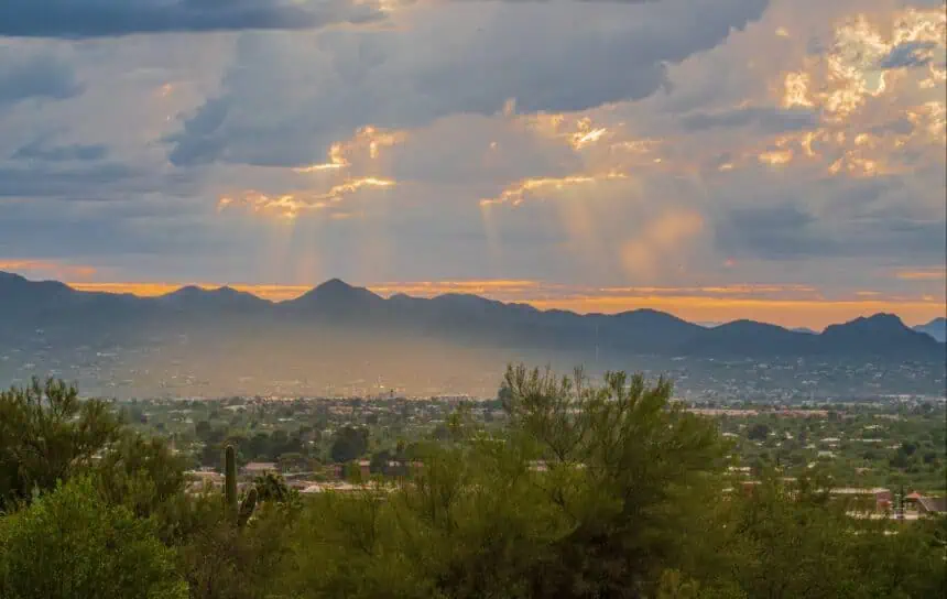

Rare storm disrupts late-spring heat in Phoenix
An uncommon late-spring storm is forecasted to break a more than seven-week dry spell in Phoenix, bringing widespread rainfall this Sunday and Monday, according to the National Weather Service in Phoenix.
After a sunny and hot start to the weekend, with highs in the low 100s°F (around 38°C) expected on Friday and Saturday, the Valley of the Sun will shift to cooler-than-normal conditions as storm clouds roll in late Saturday night.
High confidence for measurable rainfall
According to Alex Young from the NWS Phoenix office, the probability of rain from Sunday through early Monday is between 70% and 80%, a noteworthy development for a region where significant precipitation is extremely rare in late spring. Expected rainfall totals will range between 0.25 and 0.5 inches (6 to 13 mm).
There’s also a 15% to 30% chance of isolated thunderstorms on Sunday afternoon and evening, which may bring localized bursts of heavier rain, brief gusty winds, and potential lightning across parts of the Phoenix metro area.
Longest dry stretch since early spring
This weekend’s expected rainfall will mark the first measurable precipitation since April 18 at Phoenix Sky Harbor International Airport, the city’s official weather station. Prior to that, the last recorded rainfall occurred on March 15, making this one of the longest dry stretches of the season so far.
Outlook ahead: back to the heat after the rain
Once the storm system exits early next week, temperatures are set to climb once again, likely returning to triple digits (above 100°F/38°C) by Wednesday. The brief cool-down, however, offers a temporary reprieve from what has been an early start to the desert heat.
Meanwhile, the 2025 Arizona monsoon outlook, issued this week by the NWS, suggests a 33%-50% chance of above-normal rainfall during this year’s monsoon season, which spans June 15 through September 30. That’s encouraging news following two back-to-back dry monsoons across Arizona.


