

Heavy rain and severe thunderstorms from Wednesday to Thursday
Southern Minnesota and northern Iowa are currently facing an active weather pattern as a stalled cold front sets the stage for strong to severe storms and locally heavy rainfall through Thursday night. While this system is not expected to match the scale of the devastating flooding that occurred nearly one year ago, it does carry the risk of flash flooding in some areas.
Storm timeline and key hazards
Wednesday afternoon and evening will bring multiple rounds of thunderstorms, already forming along the Minnesota/Iowa border. These storms could become severe, with hail, damaging straight-line wind gusts, and intense rainfall being the primary threats. Some areas could receive 1 to 3 inches (25 to 75 mm) of rain, with isolated higher amounts possible due to training thunderstorms, where storms repeatedly pass over the same locations.
Thursday is expected to offer a brief break from the heaviest rainfall, although scattered storms and showers will persist during the day. Activity will ramp up again by Thursday evening, when another wave of stronger storms is forecast to move through the region. Once again, the primary concerns will be hail, strong winds, and potential for flash flooding, especially in areas that have already seen significant rain the night before.
Weekend outlook: A break before the next round
By late Friday, the current system will move out, leading into a milder and calmer weekend. Expect considerable cloud cover, but pleasant temperatures with highs in the mid 70s (around 24 °C) on Saturday, warming to upper 70s to near 80 °F (26–27 °C) by Sunday.
However, the active pattern resumes late Sunday, with new chances of showers and thunderstorms carrying over into early next week. The good news: temperatures will likely remain warm, with highs in the 80s (around 27–30 °C) through most of the week.
Severe weather alerts and safety reminder
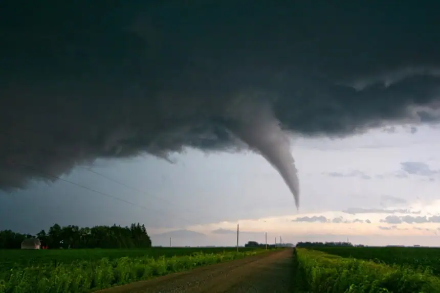
Remain weather aware through Thursday night and into early Friday, particularly for localized flash flooding and severe weather potential. The risk of tornadoes remains low, but the combination of heavy rainfall, hail, and damaging wind should not be underestimated.
The weather team will continue to monitor this evolving situation closely.


