
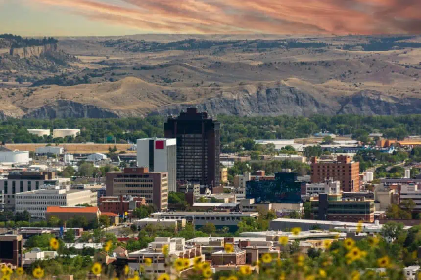

Friday afternoon may turn stormy across eastern Montana
The Billings area and much of eastern Montana should prepare for a dynamic shift in weather conditions on Friday afternoon and evening, as another strong wave of atmospheric energy moves in from the west. After a relatively quiet Thursday—especially in southern Montana and northern Wyoming—Friday’s weather is expected to escalate.
Skies will remain mostly calm during the morning, but starting late in the day, a line of showers and thunderstorms is forecast to sweep across eastern Montana. Some of these thunderstorms may reach severe levels, with gusty winds, heavy rainfall, and potentially hail. Atmospheric instability, driven by the incoming system, will contribute to the development of these intense storm cells.
Saturday brings a brief pause, but not for long
By Saturday, conditions will be less active, though not entirely settled. Isolated thunderstorms are still possible during the evening hours, especially in south-central Montana. A more sustained trough of low pressure is forecast to take shape over the Pacific Northwest from Sunday through Tuesday, which will enhance the southwesterly flow across the Northern Plains.
That change in flow is expected to increase rain chances, particularly for Monday and Tuesday, with intermittent showers and thunderstorms likely. The latter part of the week, however, appears calmer, as the trough weakens and drier air returns.
Temperatures and timing
Expect Friday highs to reach the mid to upper 70s (24–26 °C) before clouds and precipitation move in. Thunderstorm development is likely to begin after 3:00 p.m., continuing through the evening.
Saturday may reach 80 °F (27 °C), with late-day thunderstorm chances. By Sunday and early next week, cooler air and cloud cover may keep daily highs in the upper 60s to low 70s (20–22 °C).
Stay alert for storm watches and warnings, especially Friday evening, and monitor updates from local meteorologists across the Billings and Yellowstone County region.


