

🔥 Hottest temperatures of the year in southern New Mexico
New Mexico is entering its most intense heatwave of 2025 so far, with triple-digit highs expected across southern regions through the weekend. Temperatures are steadily rising this Friday, setting the stage for extreme heat by Sunday, especially in areas like Las Cruces, Hobbs, and along the I-10 corridor. Expect readings to soar well above 100°F (38°C), particularly in the Lower Rio Grande Valley.
🌡️ Albuquerque nears 100°F by Sunday
The Albuquerque Metro is not far behind. Daytime highs will push toward 100°F (38°C) by Sunday afternoon, with persistent sunshine, light winds, and minimal cloud cover driving the surge. Saturday will already be quite hot, hovering in the mid to upper 90s°F (35–37°C).
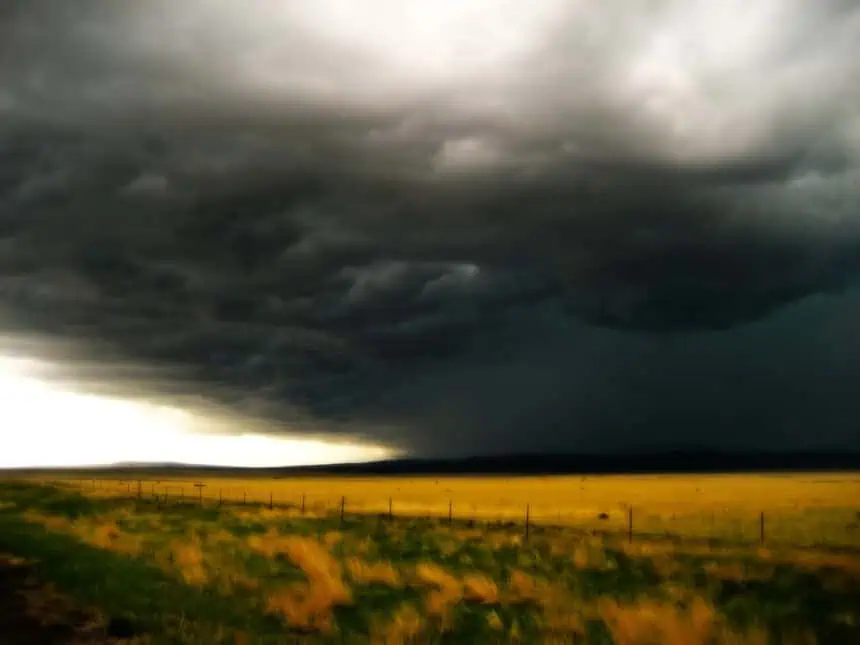
⛈️ Isolated storms hang on in central and eastern areas
Despite the heat, some relief is possible in the form of isolated showers and storms, especially along and east of the central mountain chain, including portions of the Sacramento Mountains, Ruidoso, and Roswell. These storms will be scattered and short-lived, with dry lightning also a concern due to decreasing low-level moisture.
🌬️ Drier air spreads from the west
From Friday into Saturday, a dry air mass will push in from western New Mexico, particularly across the Four Corners, Gallup, and Grants. This will suppress storm development and intensify the heatwave, as a high-pressure dome strengthens directly overhead.
📈 Early next week: heat persists, storms return Tuesday
Temperatures will continue to rise into Monday, reaching or exceeding Sunday’s highs, particularly across the southern tier and central valleys. By Tuesday, however, the ridge begins to shift east, allowing moisture to return from the south. This transition may introduce a new round of wet and dry thunderstorms midweek, especially in eastern and northern New Mexico.
Stay alert for localized storm activity, but prepare for prolonged heat across most of New Mexico through the start of next week.


