

Scattered storms forecast every day through Thursday
Alabama is set for a hot and stormy week, as a classic “rinse and repeat” summer pattern takes hold. According to the National Weather Service, daily rounds of scattered showers and thunderstorms are expected from Sunday through Thursday, primarily during the afternoon and evening hours.
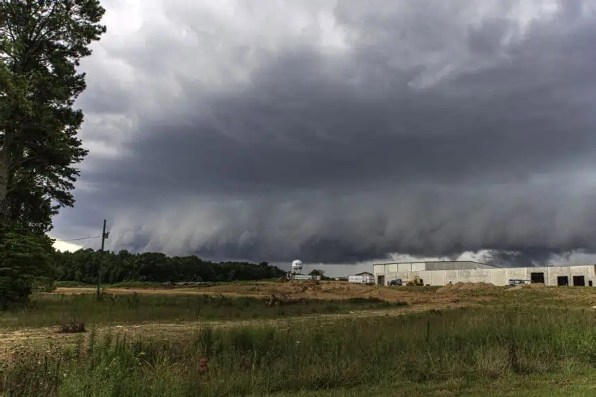
Saturday’s storms were especially strong, producing multiple severe thunderstorm warnings. Forecasters reported downed trees, including one that fell on a house, and flash flooding in some areas. Radar data showed that parts of Lamar and Pickens counties received nearly 7 inches of rain in just one day.
Today, Sunday, scattered thunderstorms are again expected statewide. However, as of this morning, no region in Alabama was under a severe weather risk, according to the Storm Prediction Center. The risk remains limited to general thunderstorms, though some could be briefly intense.
Looking ahead: Heat may intensify by the weekend
From Monday to Wednesday, the forecast remains consistent: scattered storms will continue to pop up each day across Alabama, mirroring the “rinse and repeat” pattern.
Later in the week, attention turns to the potential for increasing heat levels. While it’s still early, meteorologists suggest that by the weekend, the heat index—the “feels like” temperature—could soar into the triple digits, particularly if humidity remains high. That combination could trigger heat advisories, though it’s too soon for confirmation.
Daytime temperatures are projected to reach the mid to upper 90s°F (around 35–37°C), with high dew points amplifying the discomfort.
Stay alert to rapidly changing conditions, especially during the peak storm window in the late afternoon and evening across the state.


