

- Weather forecast hints at soggy holiday for Sarasota and Bradenton
- Low-pressure system could stall across Florida’s Gulf and Atlantic coasts
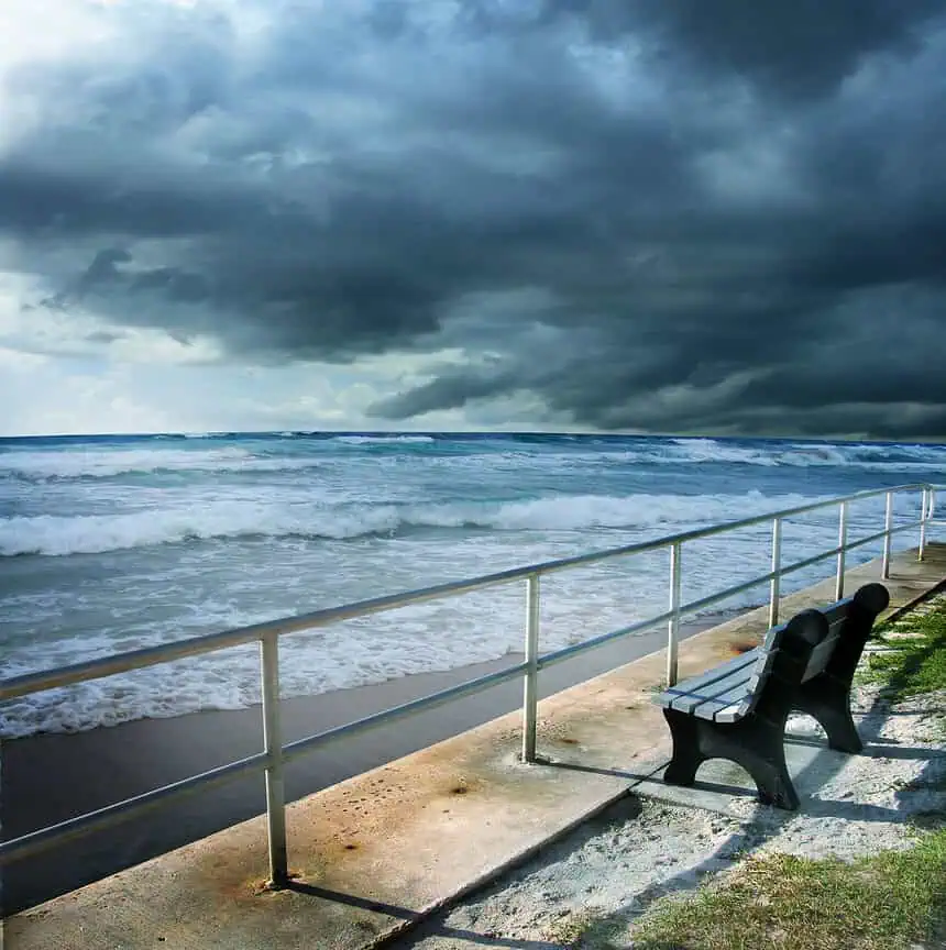
- Heavy rainfall, rip currents possible for Florida and Gulf Coast beaches
- Sarasota and Manatee County Fourth of July forecast
- Atlantic hurricane season in full swing
- Tropical cyclone terminology: what it means
A developing disturbance could stall over Florida just in time for Independence Day, bringing heavy rain, gusty winds and coastal hazards to parts of Sarasota and Manatee County. The National Hurricane Center (NHC) is closely monitoring the situation, though the chances of tropical or subtropical development remain low for now.
Weather forecast hints at soggy holiday for Sarasota and Bradenton
If you’re planning to celebrate the Fourth of July outdoors in Sarasota or Bradenton, be aware that the weather may not cooperate. A broad area of disturbed weather is expected to linger over Florida during the holiday weekend, potentially developing into a low-pressure system. Even if no tropical storm forms, showers and thunderstorms are increasingly likely across Southwest Florida.
As of 8 a.m. on Monday, June 30, the NHC rated the chance of tropical or subtropical formation as 0 percent over the next 48 hours, and only 20 percent over the next seven days.
Low-pressure system could stall across Florida’s Gulf and Atlantic coasts
The disturbance currently spans the state, from the northeastern Gulf of Mexico to the Atlantic waters off the southeastern U.S. coast. A frontal boundary is forecast to stall and weaken near this region later in the week, potentially acting as a trigger for cyclonic development, according to NHC forecasters.
Alex DaSilva, lead hurricane expert at AccuWeather, noted that warm Gulf waters and low wind shear may support development, especially if the system remains stationary.
Heavy rainfall, rip currents possible for Florida and Gulf Coast beaches
The Florida Division of Emergency Management emphasized that, while no direct tropical threat is expected over the next few days, the system could bring locally heavy rainfall, brief strong winds, and increased rip current risks to the Gulf and Atlantic coasts.
Anyone heading to the beaches from North Florida, the Alabama or Mississippi Panhandles, or the Carolinas should monitor weather updates closely, particularly if a tropical depression or storm does emerge by the weekend.
Sarasota and Manatee County Fourth of July forecast
As of June 30, the National Weather Service in Tampa Bay forecasts unsettled conditions for the Independence Day holiday:
Sarasota County, July 4: Expect numerous showers and possibly a thunderstorm. Skies will be partly sunny, with a high near 86°F (30°C) and southwest winds around 6 to 9 mph. The chance of rain stands at 60 percent. By Friday night, expect scattered thunderstorms under mostly cloudy skies, with a low near 75°F (24°C) and a 50 percent rain chance.
Manatee County, July 4: Forecast calls for likely showers, possibly a thunderstorm, with partly sunny skies and a high around 87°F (30.5°C). West-southwest winds between 6 to 8 mph. The rain chance climbs to 70 percent during the day, dropping to 40 percent Friday night, when skies turn mostly cloudy with a low near 73°F (22.8°C).
Atlantic hurricane season in full swing
The Atlantic hurricane season officially runs from June 1 through November 30, with 97 percent of all tropical cyclone activity occurring in this period. The peak of the season is September 10, though most activity occurs from mid-August to mid-October.
The Atlantic Basin includes the North Atlantic Ocean, the Caribbean Sea, and the Gulf of America—a term now officially used in NOAA forecasts and maps, following a naming change instituted by President Trump.
Tropical cyclone terminology: what it means
The term tropical cyclone is a general designation used by NOAA, the National Weather Service, and the NHC to describe any organized storm system forming over tropical or subtropical waters with closed low-level circulation. It includes:
Hurricane – in the North Atlantic, central Pacific, and eastern Pacific
Typhoon – in the Northwest Pacific
Cyclone – in the South Pacific and Indian Ocean
The second named storm of the 2025 season, Tropical Storm Barry, formed on Sunday, June 29, before making landfall near Veracruz, Mexico. By Monday morning, June 30, it had weakened to a remnant low, though it continued to produce heavy rainfall.
The next name on the list is Chantal.
Stay updated with live radar, local alerts, and weather apps to track developing conditions this holiday weekend across Florida.


